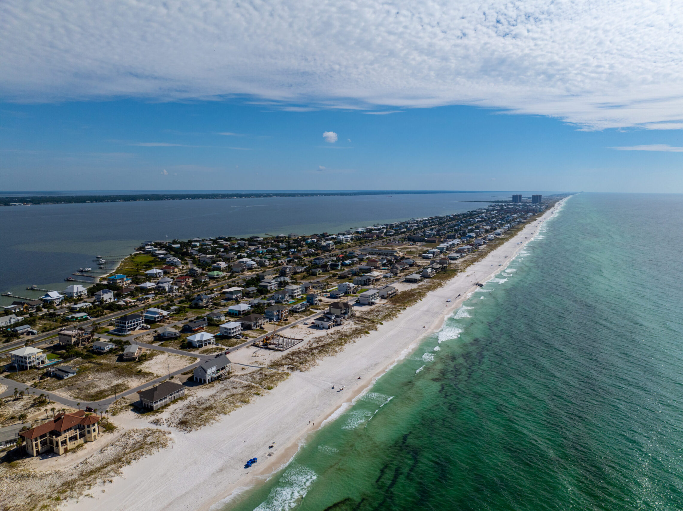
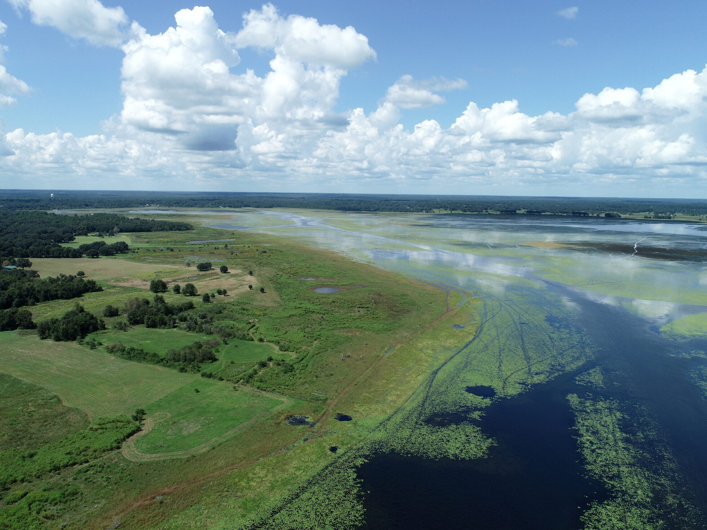
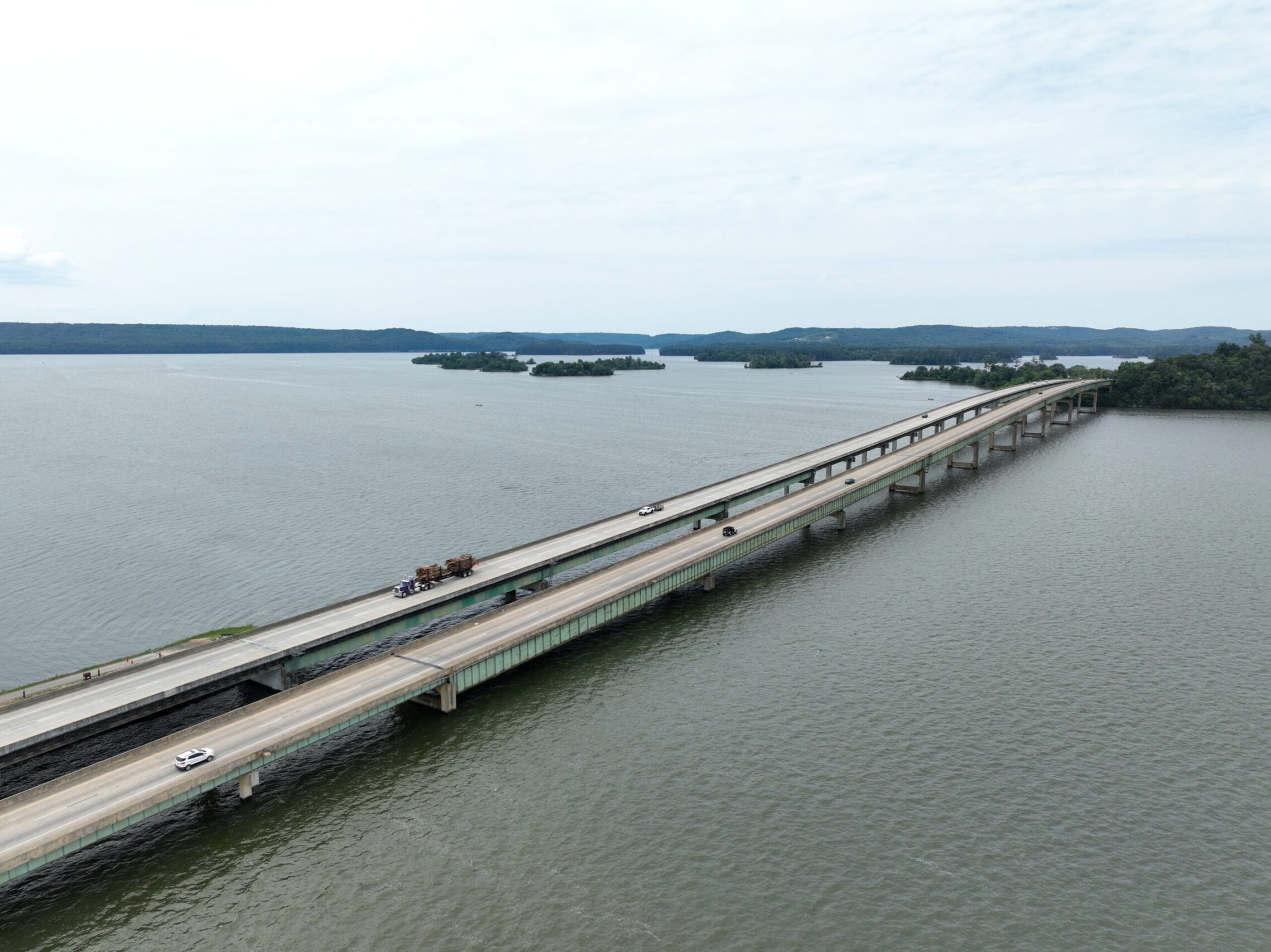
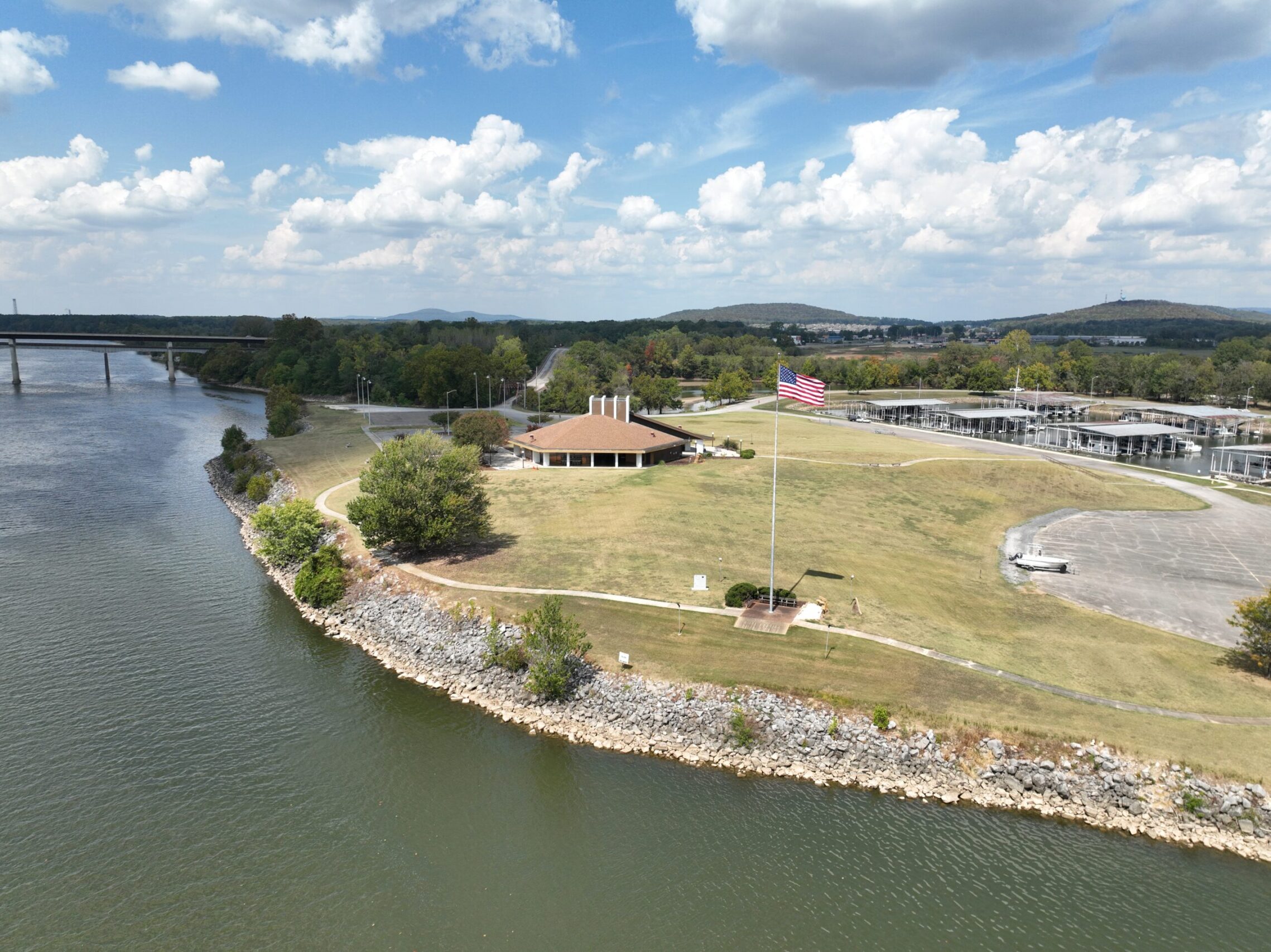
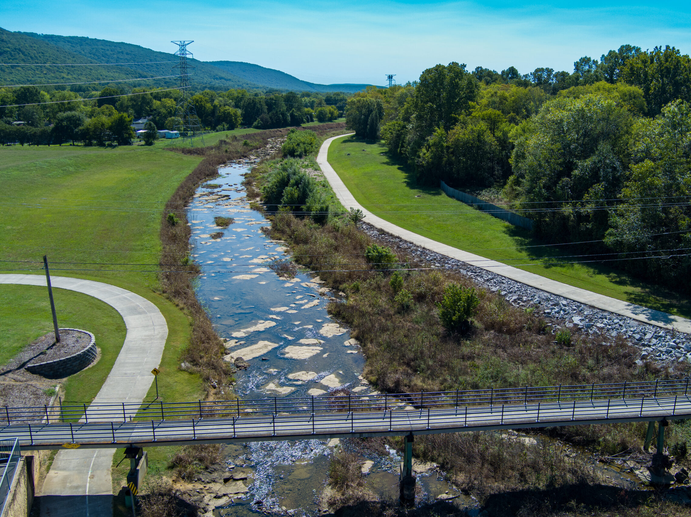
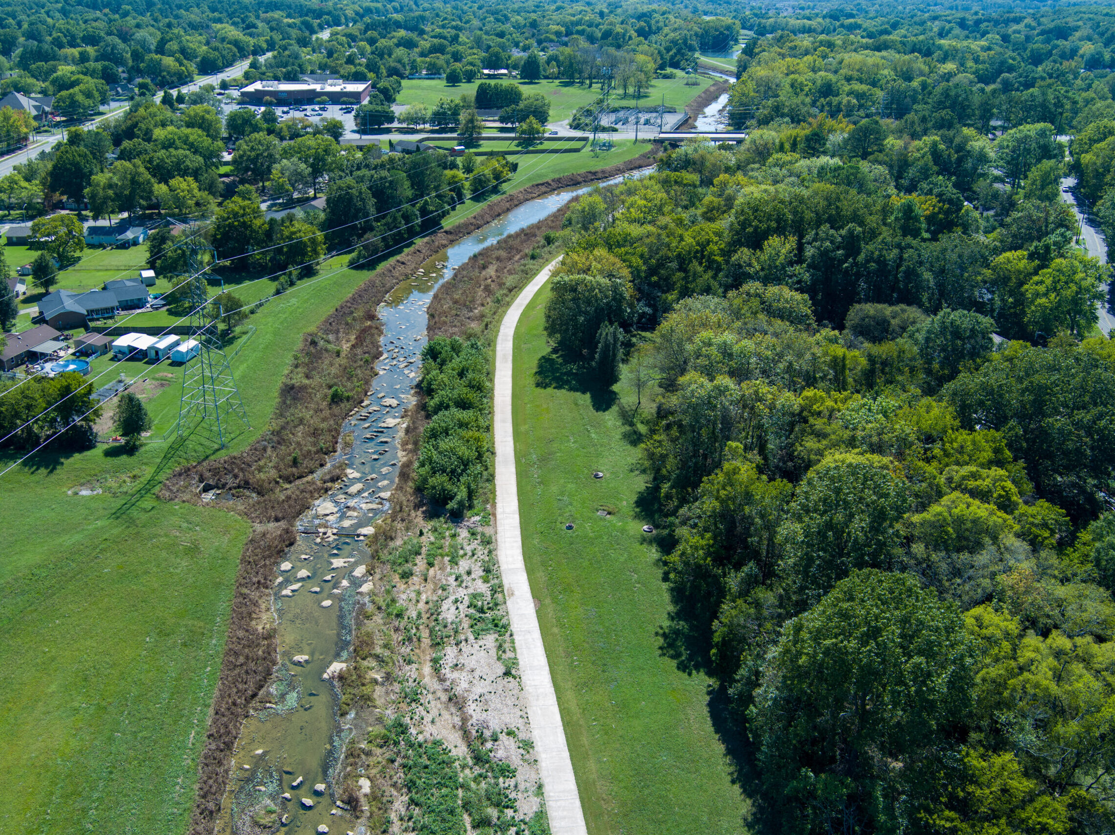
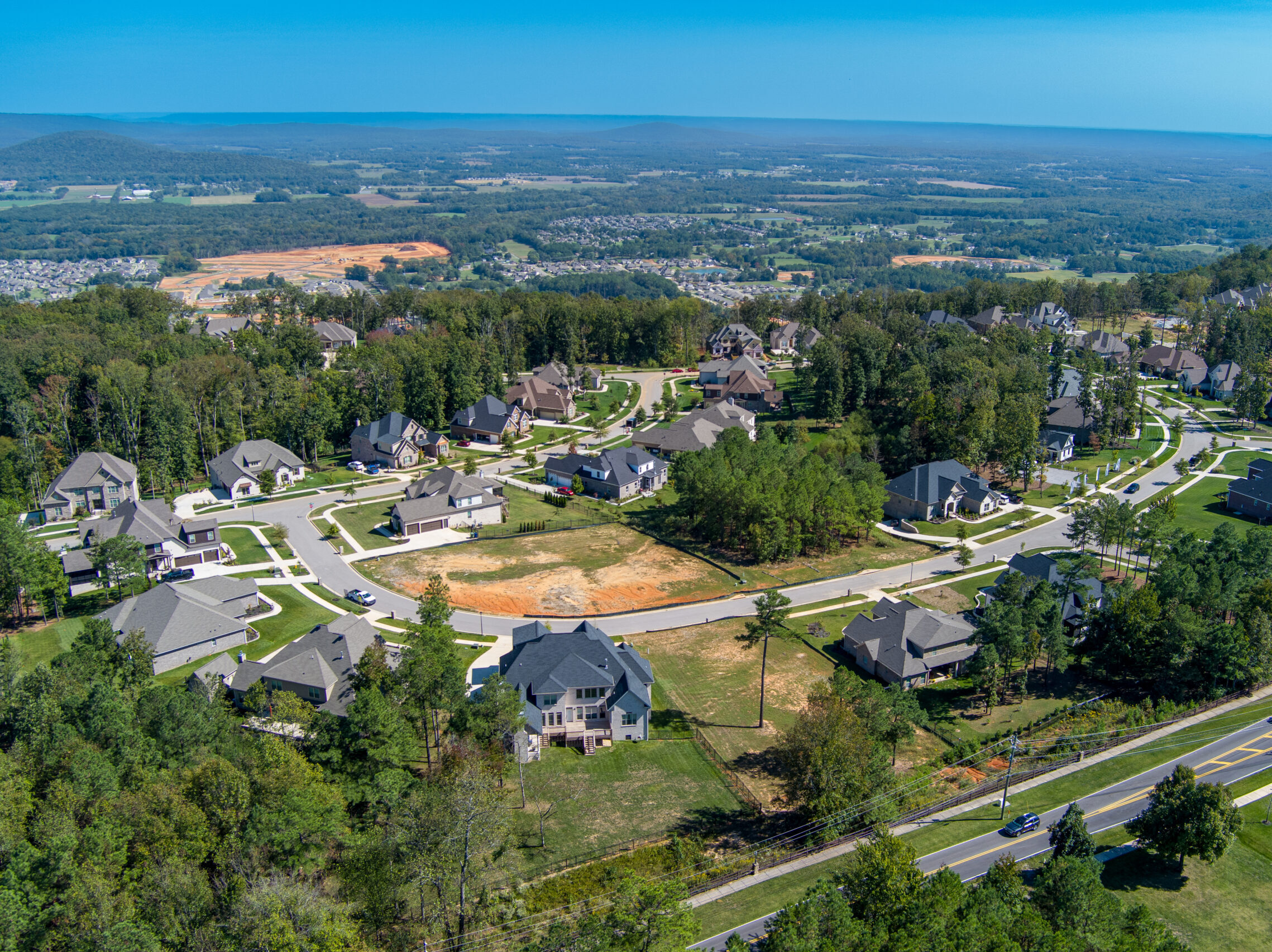
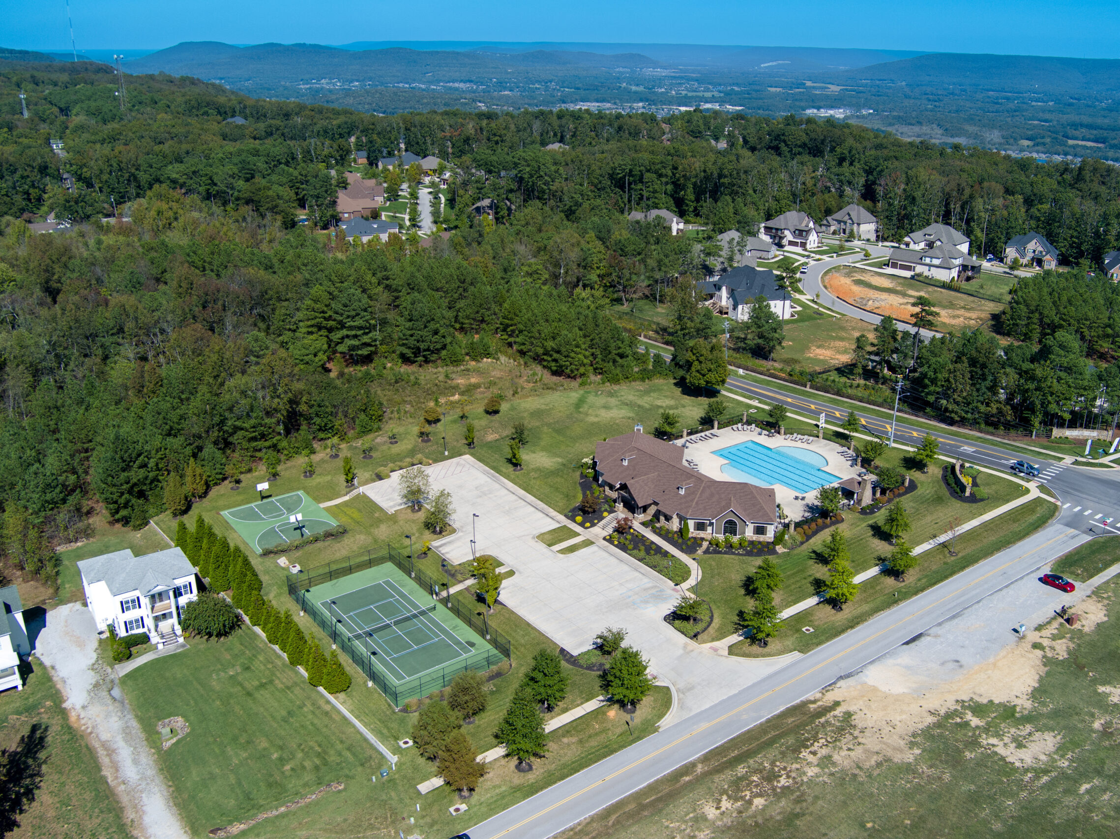
Our Services - Aerial Imaging & Videography
Bush Drone Data provides exceptional aerial imaging and videography services, with a focus on capturing high-quality aerial images and stunning videos tailored to a variety of industry needs. Our advanced technology delivers unique perspectives for applications such as real estate marketing, construction site monitoring, agricultural assessments, and environmental surveys.
With our cutting-edge drone capabilities, we offer detailed visual documentation and dynamic footage that enhance your project insights and presentations. Trust Bush Drone Data to deliver versatile and precise aerial imagery, giving your business a strategic edge.
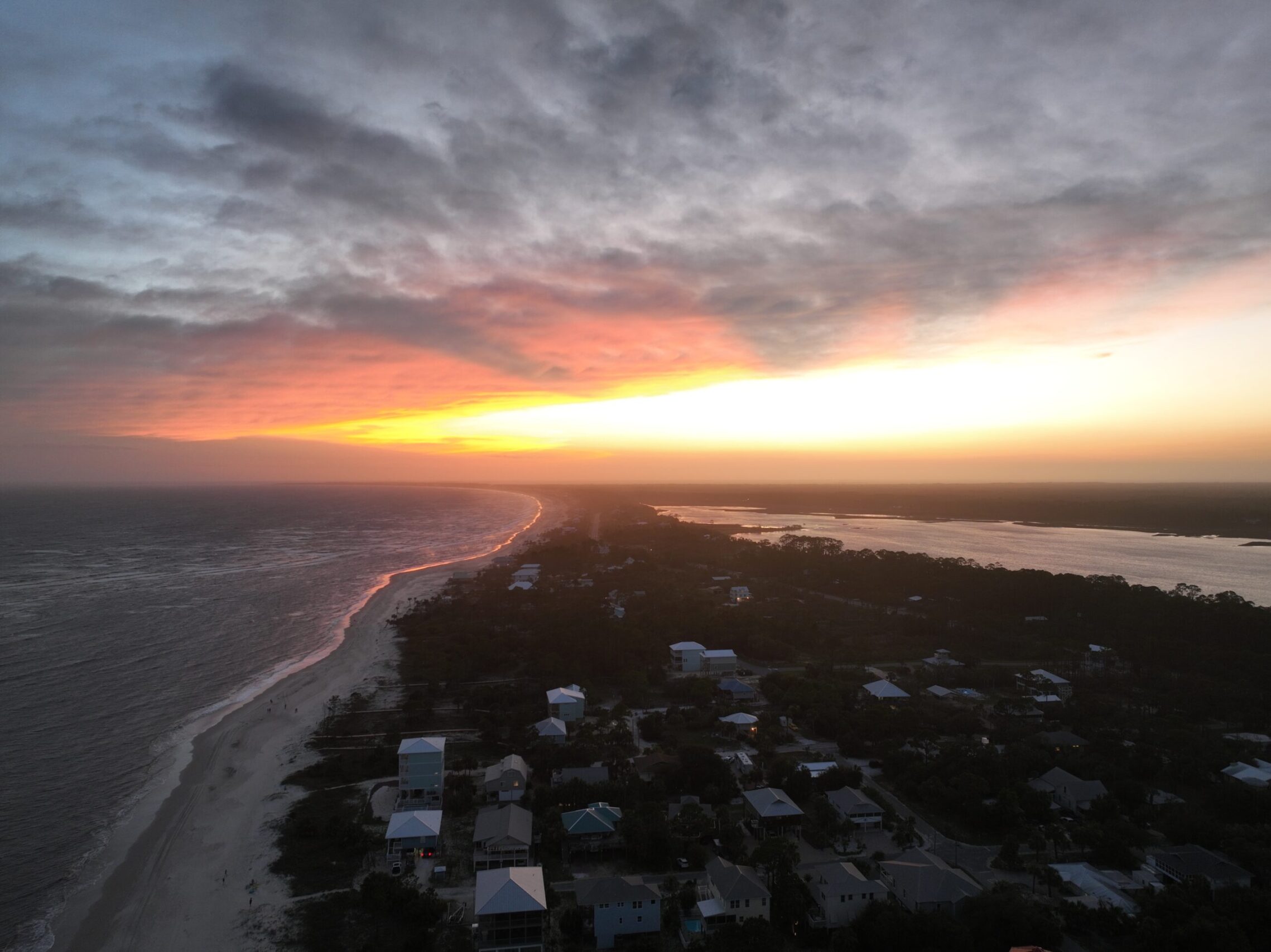
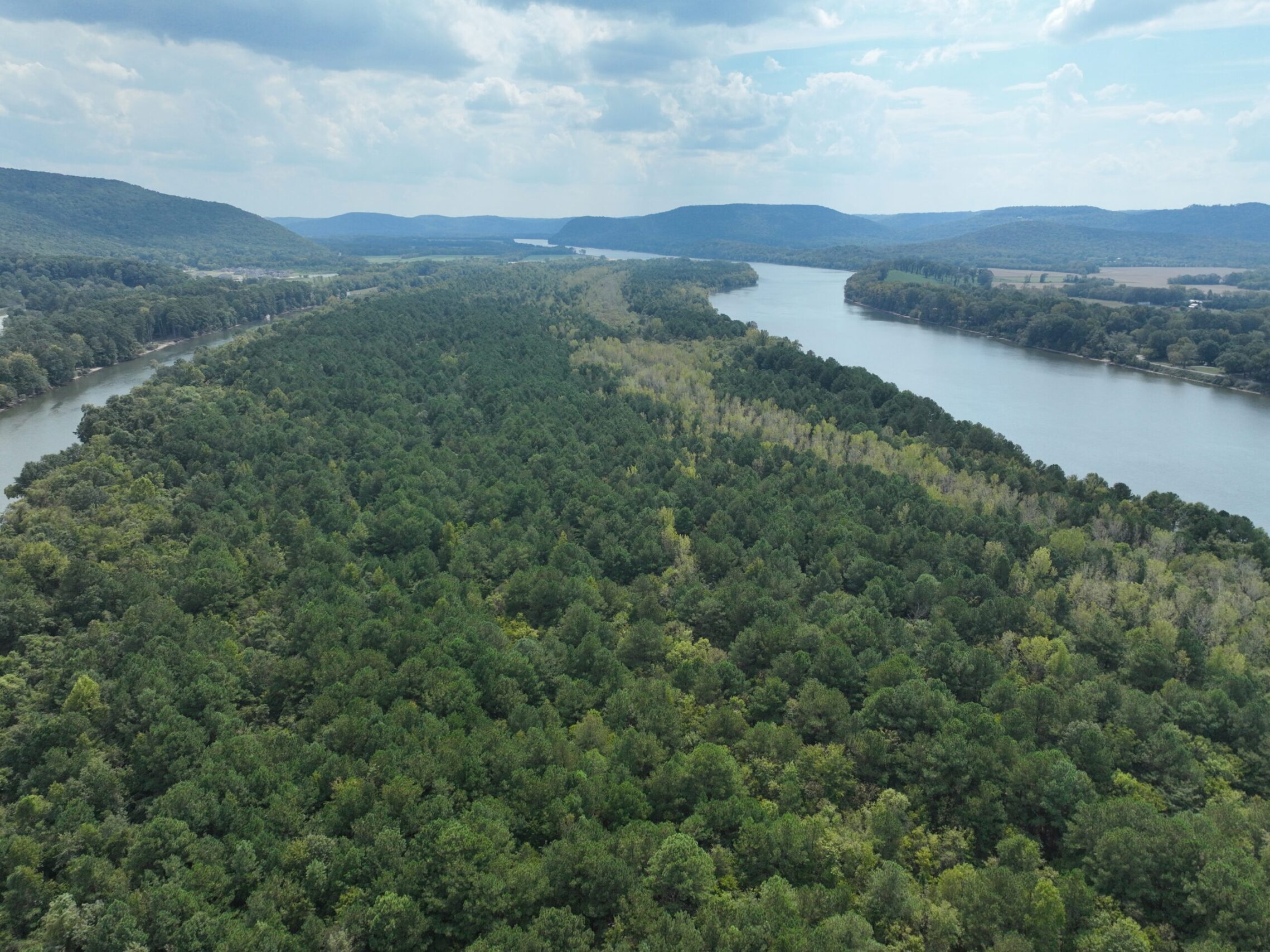
At Bush Drone Data, we capture stunning aerial photos and videos to support your industry needs—from real estate and construction to agriculture and environmental work.
Using advanced drone tech, we deliver:
High-quality visuals
Detailed site documentation
Engaging, dynamic footage
Our imagery provides the insight and clarity needed to elevate your projects and give your business a strategic edge.