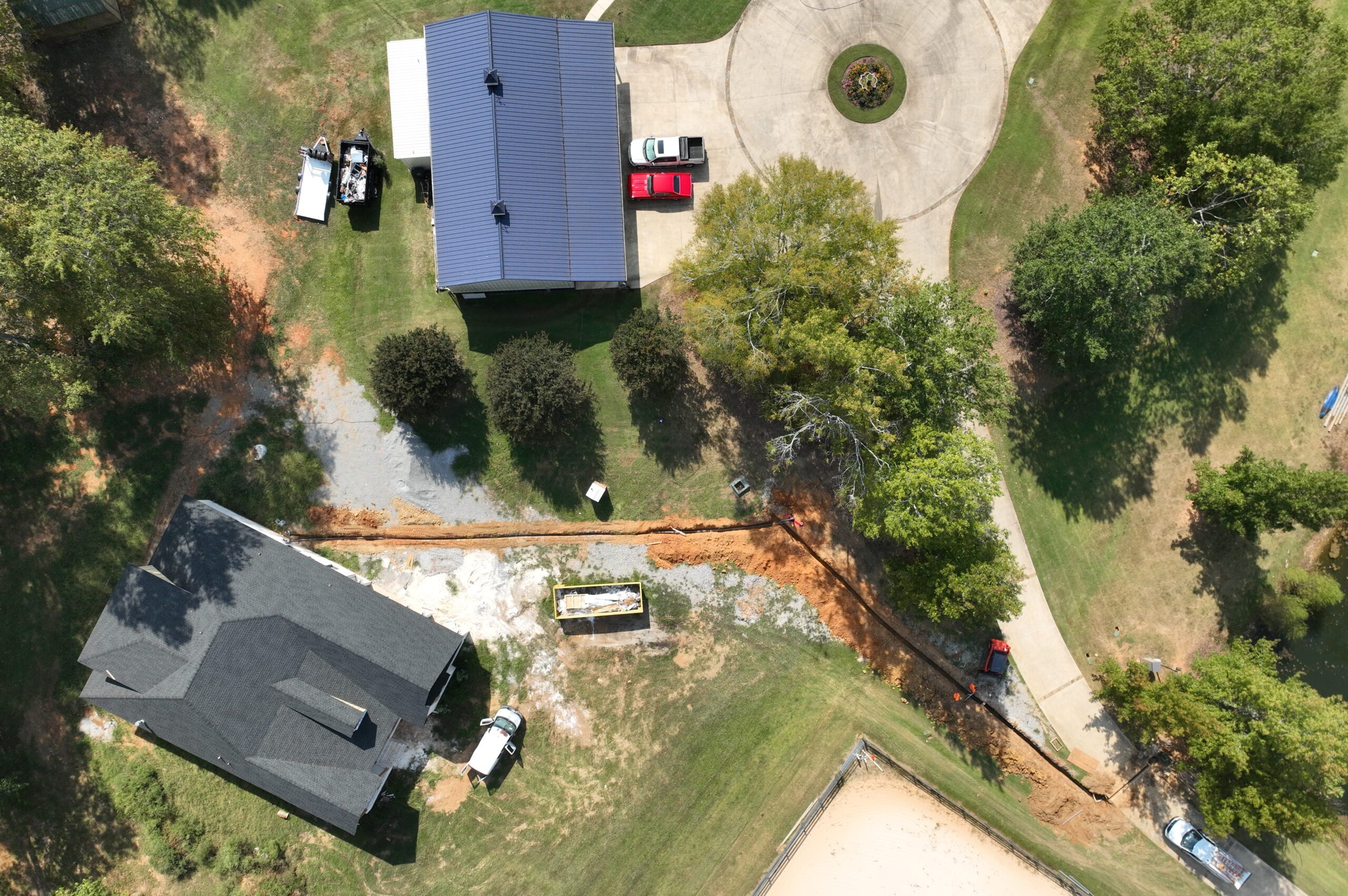
Bush Drone Data is North Alabama’s trusted, licensed topographic surveying company, delivering precise geospatial data through advanced aerial LiDAR, topographic mapping, and GIS-based workflows. We provide professional topographic surveying and mapping solutions for land developers, engineers, construction teams, utilities, and environmental professionals—empowering projects with accurate data, rapid turnaround times, and modern efficiency that surpasses traditional survey methods.
Using high-accuracy aerial mapping systems and rigorous ground control and QA/QC processes, we collect and produce survey-grade topographic deliverables with consistency and precision. Our services include LiDAR mapping, topographic surveys, terrain and surface modeling, contour generation, spatial volumetrics, site documentation, and GIS-ready datasets tailored for engineering and design requirements.
Whether you are evaluating a project site, planning land development, designing infrastructure, calculating earthwork quantities, or documenting existing conditions, our drone-based surveying approach reduces field time, enhances safety, and accelerates project delivery—without compromising accuracy.
Partner with Bush Drone Data today and bring modern topographic surveying, mapping, and geospatial insight to your workflow—because precise data is the foundation of every successful project.
Precise topographic data for smarter, faster project decisions.
We provide high-accuracy surveying and geospatial solutions—from aerial LiDAR and detailed terrain mapping to GIS analysis, site documentation, and volumetrics.
Built for developers, engineers, and construction professionals who need reliable topographic and geospatial data to move projects forward with confidence.
• High-Accuracy Topographic Mapping • Geospatial Data Collection • Terrain and Elevation Data
Trusted by:
• Developers • Engineers • Construction Teams • And more…
Custom surveying and mapping services tailored to your project’s specific needs.
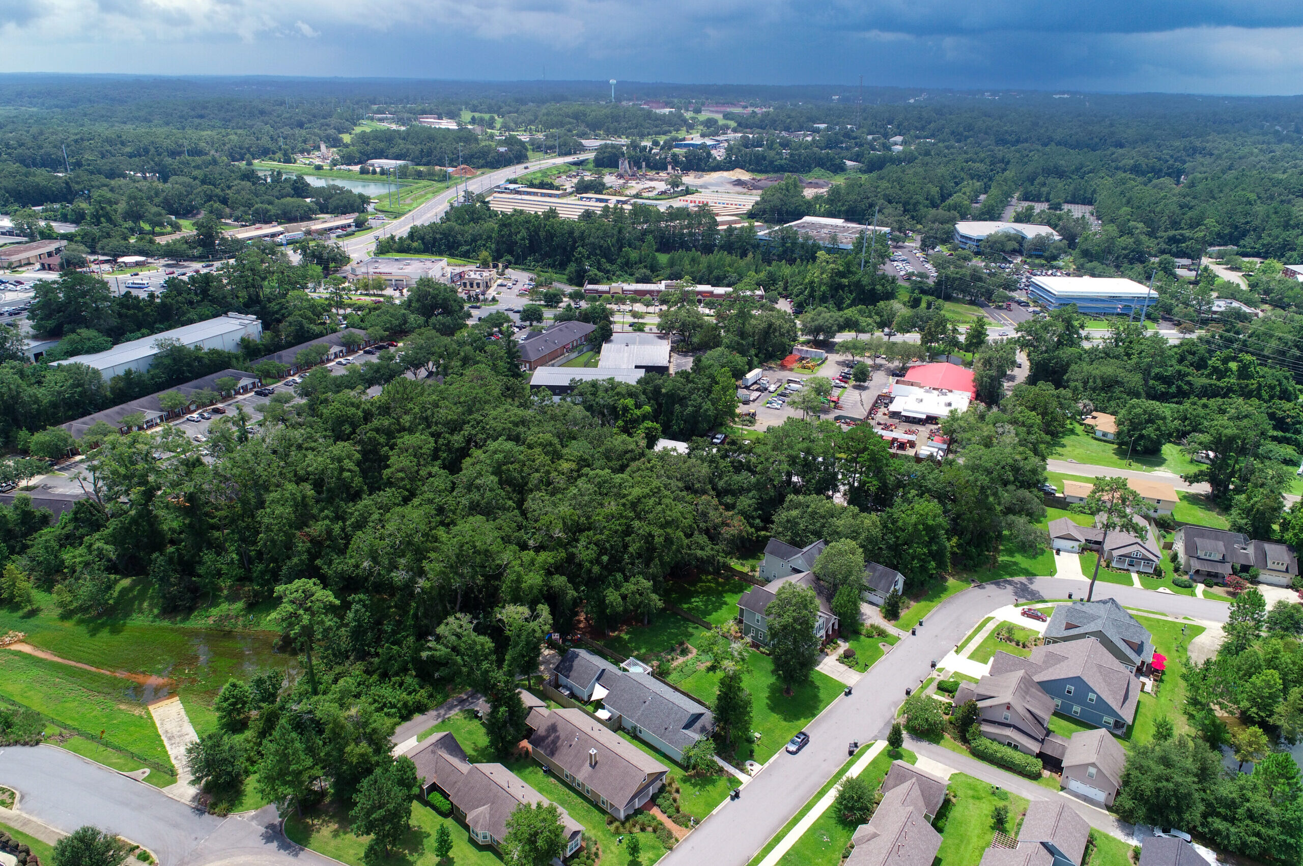
Expert Drone Solutions Tailored for Every Industry
We provide advanced topographic surveying, mapping, and geospatial data services designed to meet the technical demands of modern land development, engineering, construction, and infrastructure projects.
From detailed topographic surveys and terrain modeling to site analysis, construction documentation, and GIS integration, our solutions deliver accurate spatial data and clear, actionable insight. These high-precision datasets help project teams streamline workflows, reduce field time, identify site conditions, minimize risk, and make informed decisions with confidence throughout every phase of a project.
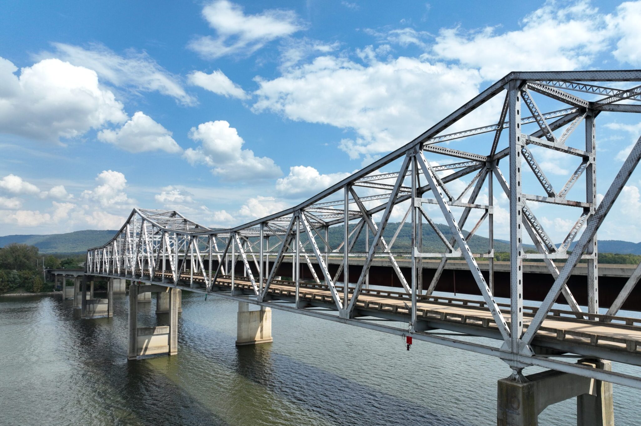
Infrastructure
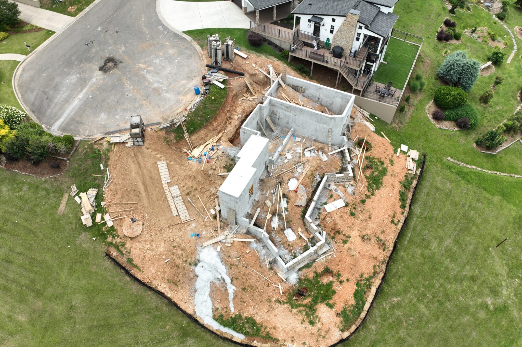
Construction
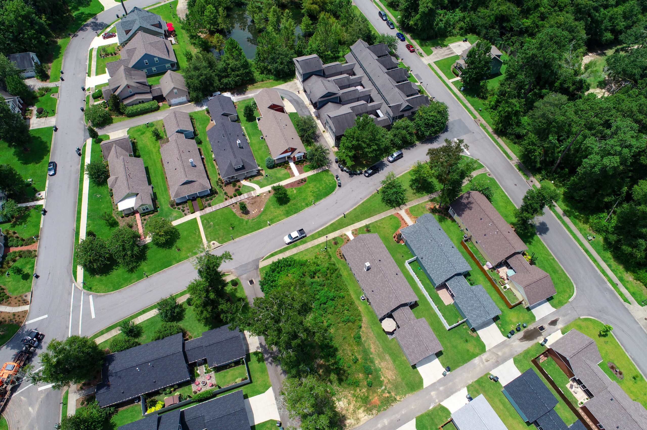
Urban Planning
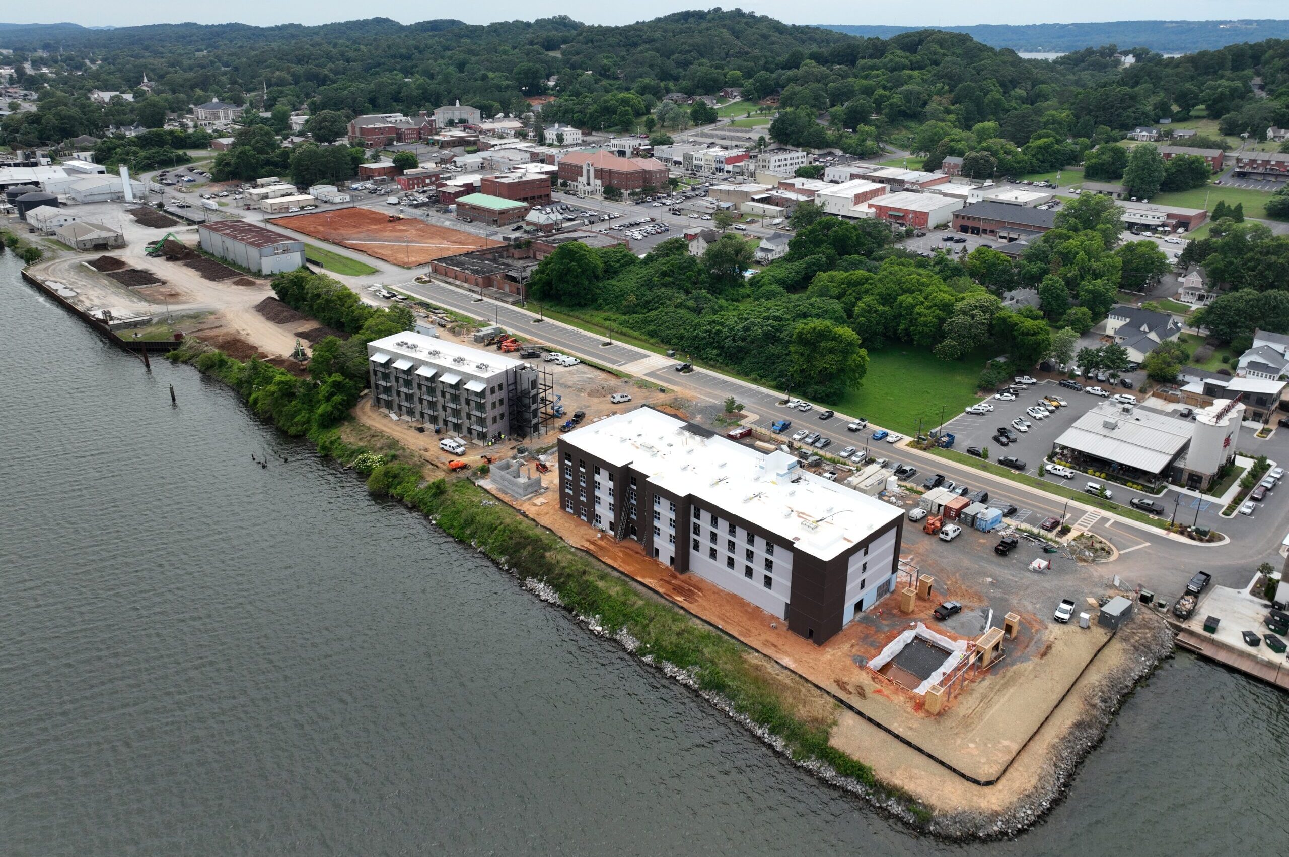
Comprehensive Data Solutions for Every Need
We deliver precise, dependable topographic surveying, mapping, and geospatial solutions tailored to the needs of modern development and infrastructure projects.
From detailed terrain data and site analysis to specialized geospatial data acquisition, our services provide the accurate information necessary to support informed decisions and successful project outcomes.
Agricultural Surveys
Land Development
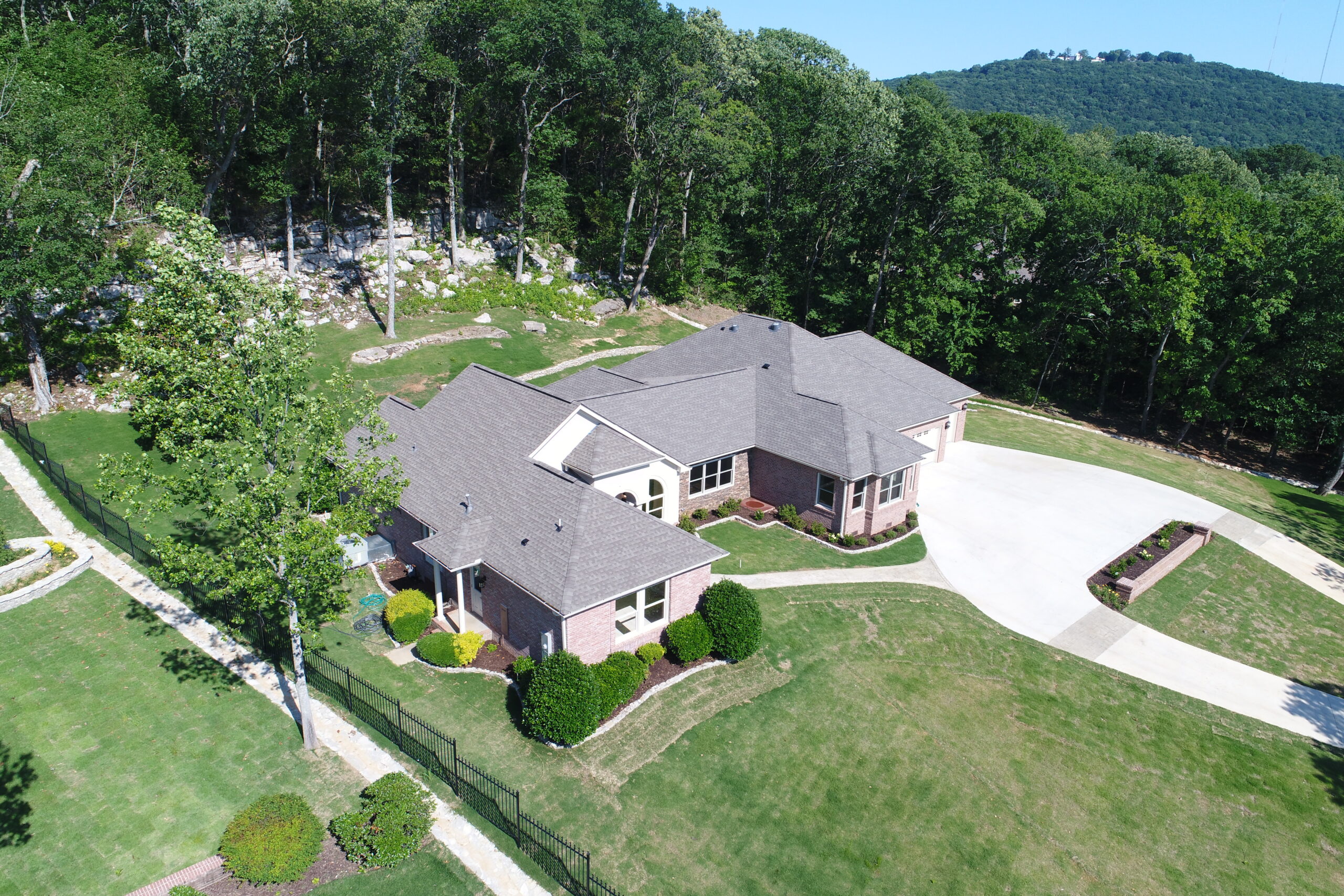
Topographic Data
LiDAR Scanning
City Planning
Construction Developments
Office Hours
Contact Us
Have a question or a project in mind? We’re here to help. Call today or send an email to info@bushdronedata.com to discuss your surveying needs and learn how our drone-based solutions can support your project with precise, reliable geospatial data.