
At Bush Drone Data, we deliver advanced drone solutions tailored to your industry’s specific needs. From LiDAR mapping to GIS integration, our services empower smarter planning, enhanced efficiency, and sharper decision-making.
We specialize in:
Topographic Surveying, LiDAR Mapping, Aerial Imaging & Videography, High-Altitude Structural Inspections, Spatial Volumetrics, and GIS Data Solutions.
Discover how our technology can elevate your next project.
Industries We Serve
At Bush Drone Data, we provide professional topographic surveying and geospatial services designed to support the technical needs of modern development, engineering, and construction industries. Our advanced capabilities—including LiDAR mapping, topographic surveying, infrastructure inspections, spatial volumetrics, and GIS-ready data solutions—deliver the accuracy and clarity required for informed, data-driven decision-making.
Explore how our topographic surveying expertise and high-precision aerial workflows can support your industry below.
Construction & Engineering
How We Help:
Topographic Surveys
Capture detailed elevation, terrain, and surface-feature data to support site planning, design, permitting, and development decisions.
Aerial Videography
Track construction progress with high-resolution aerial videos, keeping stakeholders informed in real time.
Spatial Volumetrics
Measure stockpiles and on-site materials with precision to optimize resource management.
High-Altitude Structural Inspections
Safely assess elevated or hard-to-reach structures like roofs, scaffolding, or cranes without disrupting operations.
LiDAR Mapping
Capture detailed elevation data and generate precise 3D terrain models for development, grading, and infrastructure planning.
Benefits
Better project planning and site oversight
Safer, non-invasive inspections
Timely updates and reporting for all stakeholders
Agriculture
How We Help:
Aerial Imaging & Videography
Monitor crop health, irrigation patterns, and field conditions with high-resolution aerial imagery to boost efficiency and maximize yield.
3D Mapping
Generate detailed topographic maps to support land use planning, zoning, and field management.
LiDAR Mapping
Build precise elevation models to guide drainage design, soil assessment, and optimized field contouring.
Benefits
Better crop management and yield forecasting
More efficient use of water and fertilizers
Early identification of disease or irrigation problems
Infrastructure & Utilities
How We Help:
High-Altitude Structural Inspections
Remotely inspect power lines, bridges, and towers to reduce manual labor and improve safety.
GIS Data Solutions
Map utility networks and assets for improved infrastructure management and faster decision-making.
LiDAR Mapping
Provide accurate elevation data and detailed 3D models for corridor planning, flood analysis, utility development, and terrain studies.
Benefits
Safer, non-invasive inspections
Early detection of system failures
Accurate mapping for smarter infrastructure management
Environmental Monitoring
How We Help:
GIS Data Solutions
Integrate aerial datasets into GIS platforms to support environmental analysis, land use tracking, and planning efforts.
Aerial Imaging
Capture high-resolution imagery to document environmental changes like deforestation, flooding, and erosion.
LiDAR Mapping
Create detailed terrain and vegetation models for watershed analysis, biomass estimates, habitat mapping, and reforestation strategies.
Benefits
Real-time data collection in the field
Improved land use and conservation planning
Accurate maps to support restoration and analysis
Insurance & Claims Assessment
How We Help:
Aerial Imaging & Videography
Capture detailed aerial views of damage from storms, floods, or fires to support accurate and timely claims processing.
3D Photogrammetric Modeling
Generate precise 3D models of damaged structures to assist with assessments and streamline repair planning.
High-Altitude Structural Inspections
Safely inspect rooftops and large structures to evaluate storm or accident damage without requiring physical access.
Benefits
Faster, more efficient claims assessments
Fewer on-site inspections needed
Clear, detailed documentation for insurance reports
Government & Public Safety
How We Help:
GIS Data Solutions
Deliver accurate geospatial data to support urban planning, infrastructure projects, and emergency response strategies.
Aerial Imaging
Capture high-resolution imagery of public assets, parks, and developments for planning, safety assessments, and documentation.
LiDAR Mapping
Generate detailed elevation and surface models for flood analysis, road planning, urban development, and hazard mitigation.
Benefits
Better urban planning with precise location data
Stronger emergency preparedness and response
Cost-effective oversight of public infrastructure
Event Media & Marketing
How We Help:
Aerial Videography
Film dynamic aerial footage of outdoor events, festivals, and celebrations to create captivating marketing content.
Aerial Photography
Deliver unique, high-angle shots that highlight venue layouts, crowds, and the overall event atmosphere.
Benefits
Eye-catching, high-quality promotional media
Greater visibility for event organizers and sponsors
Stunning visuals that showcase the energy and scale of your event
Get Started With Us Today
No matter your industry, our drone services equip you with powerful tools and data to make smarter, faster decisions.
From construction and agriculture to infrastructure and environmental safety, we deliver the precision, clarity, and insight your operations need.
Improve efficiency, reduce costs, and gain a clearer perspective—all through non-invasive, expert-driven aerial solutions.
Ready to elevate your business?
Contact us today and discover how our drone services can take your projects to new heights.

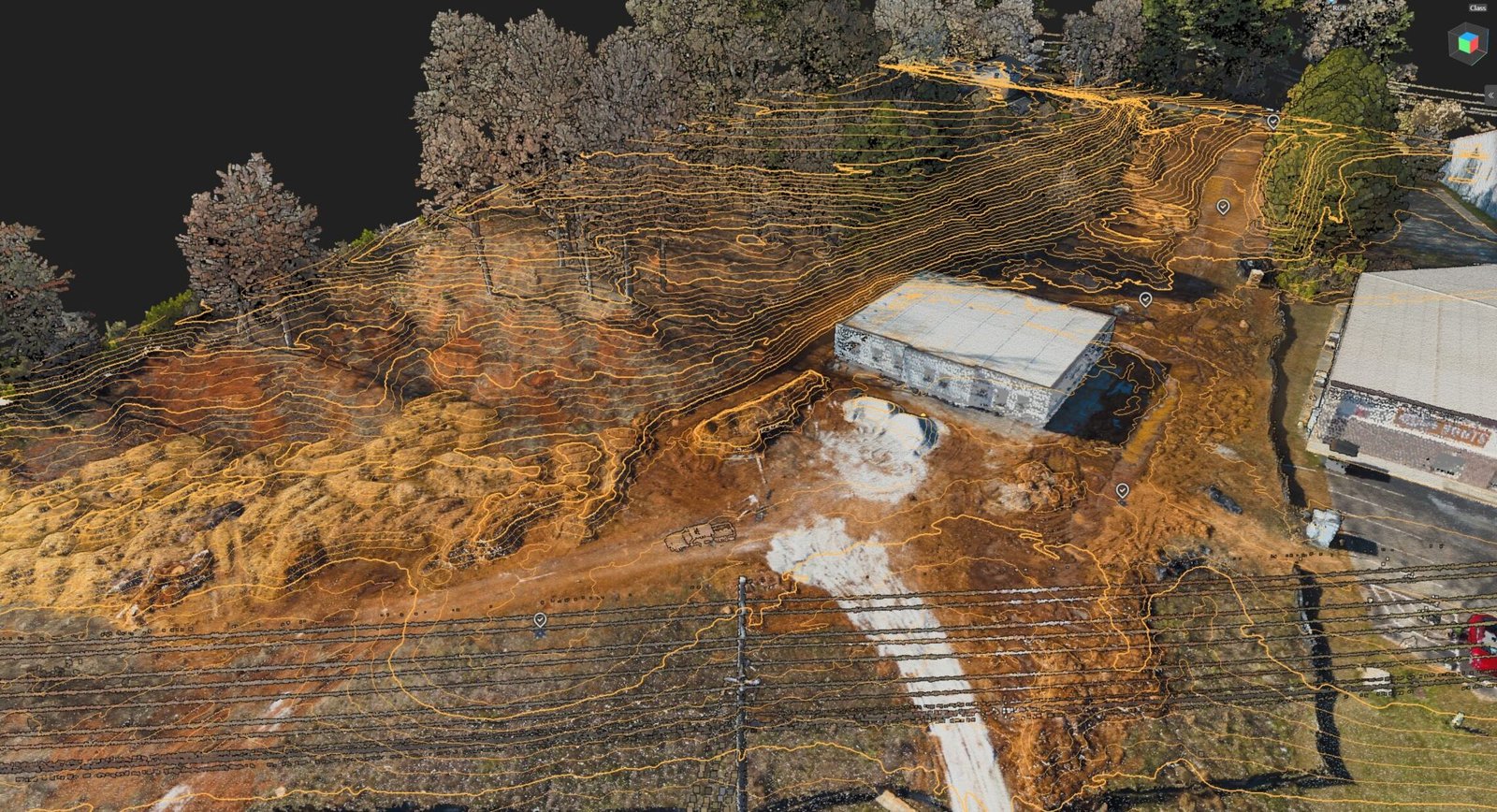
Engineering & Land Development
How We Help:
- Topographic Surveys: Capture detailed elevation, terrain, and surface-feature data to support site planning, design, permitting, and development decisions.
- Aerial LiDAR Mapping: Produce accurate terrain models across open, developed, and vegetated sites for grading, drainage, roadway, and infrastructure design.
- Contour and Surface Modeling: Generate precise contours, digital terrain models, and three-dimensional surfaces that integrate directly into CAD, GIS, and engineering workflows.
- Existing Conditions Documentation: Record current site conditions, visible improvements, access routes, drainage features, and other relevant surface information before design or construction begins.
- Geospatial Analysis: Evaluate elevation changes, slopes, drainage patterns, and site characteristics to provide clear spatial insight throughout the planning and design process.
Benefits:
- More accurate planning, design, and site evaluation
- Reduced field time and faster data collection
- Reliable survey-grade data for CAD, GIS, and engineering applications
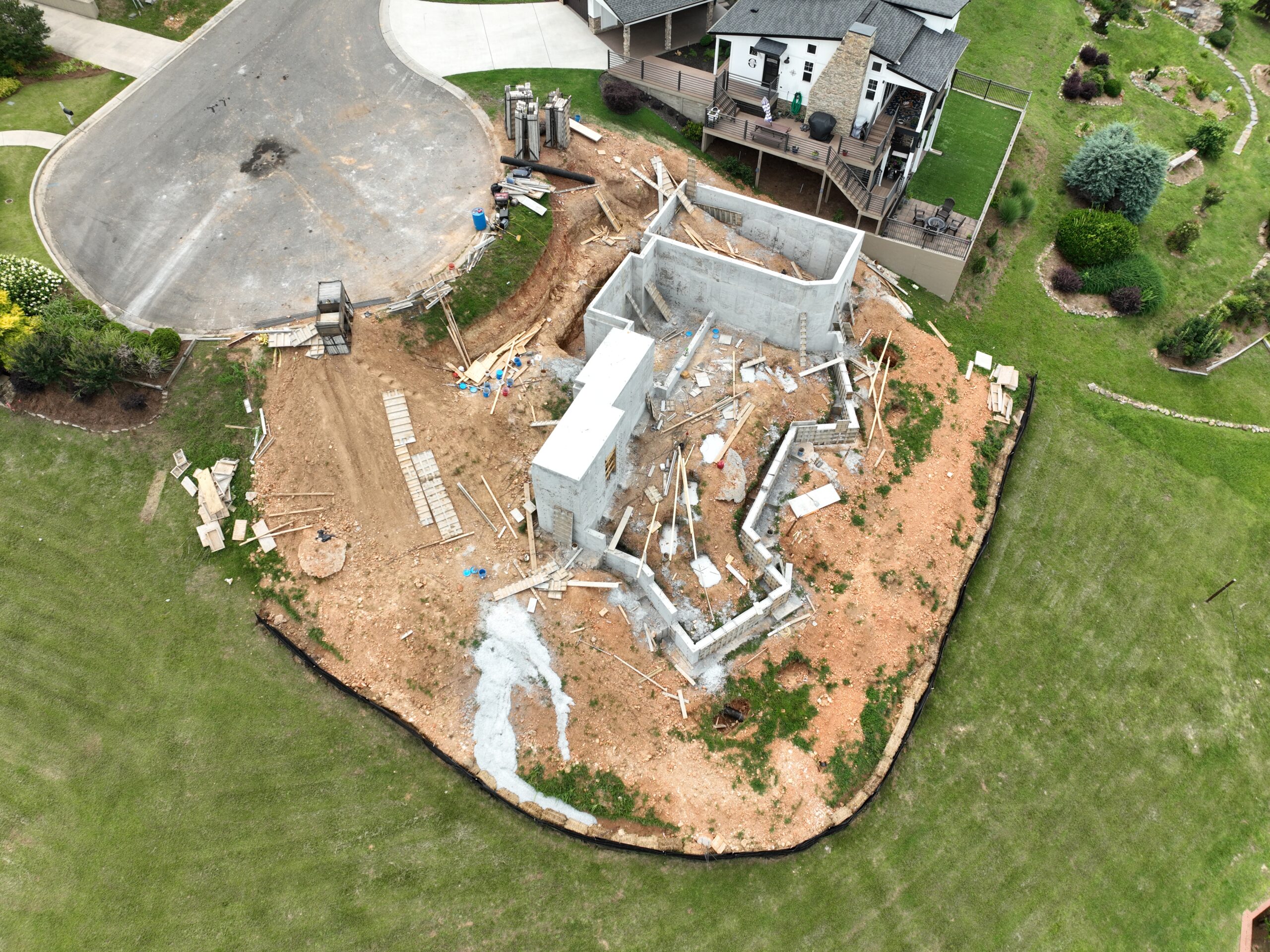
Construction
How We Help:
- 3D Photogrammetric Modeling: Generate precise 3D models and maps for accurate site planning, topography analysis, and progress monitoring.
- Aerial Videography: Monitor construction progress with high-resolution aerial videos, giving stakeholders real-time updates.
- Spatial Volumetrics: Accurately measure stockpiles and construction materials on-site, ensuring more effective resource management.
- High-Altitude Structural Inspections: Inspect hard-to-reach areas such as scaffolding, roofs, or cranes to enhance safety and minimize downtime.
- LiDAR Mapping: Capture detailed elevation data and create highly accurate 3D terrain models for site development, grading analysis, and infrastructure design.
Benefits:
- Improved project planning and site management
- Enhanced safety with non-invasive inspections
- Real-time monitoring and reporting for stakeholders
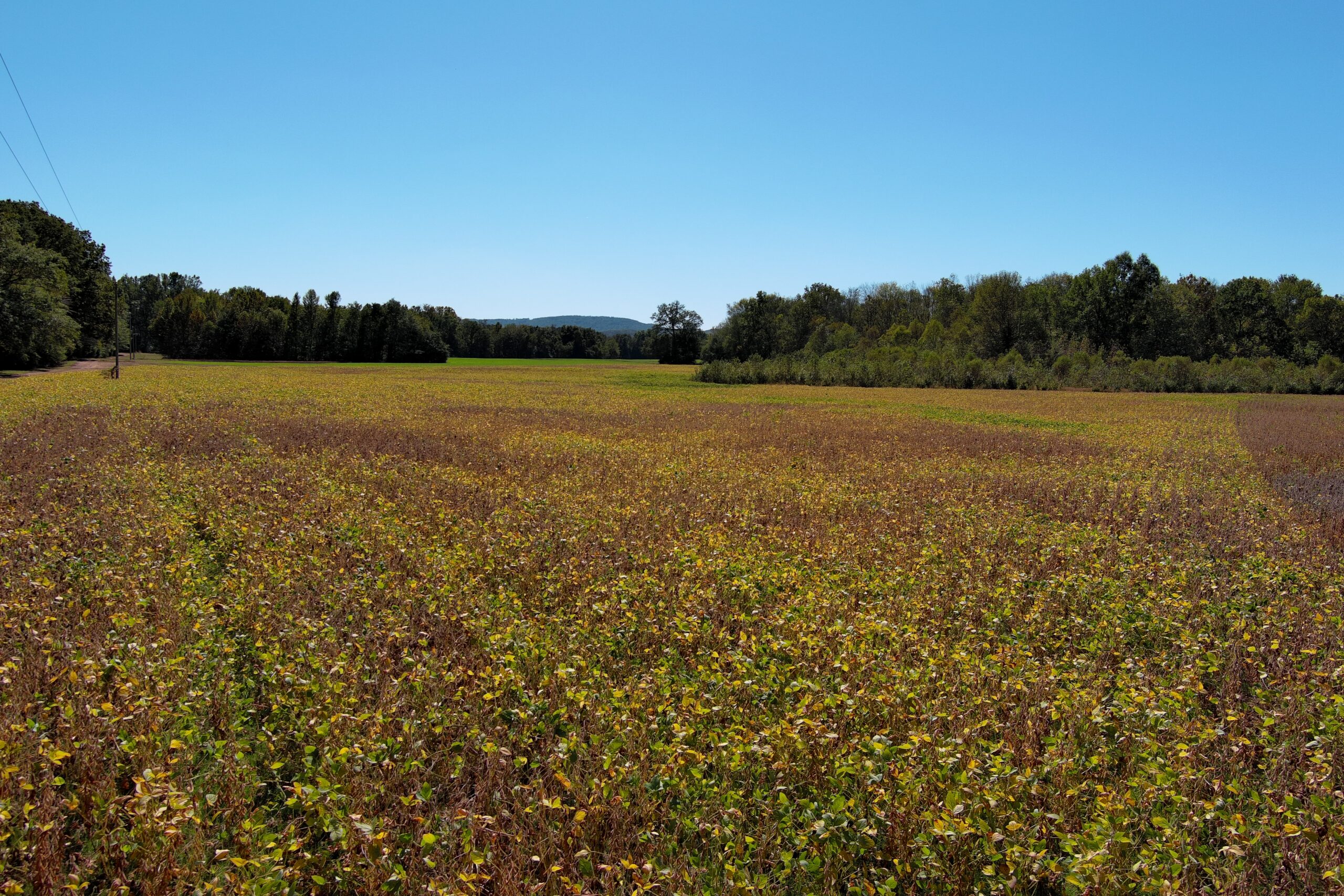
Agriculture
How We Help:
- Aerial Imaging & Videography: Monitor crop health, irrigation patterns, and field conditions using aerial imagery to optimize yield and resource use.
- 3D Mapping: Create detailed topographical maps of farmland to assist with land management and planning.
- LiDAR Mapping: Produce precision elevation and terrain models to improve drainage planning, soil analysis, and field contouring for efficient land management.
Benefits:
- Improved crop management and yield predictions
- Efficient use of water and fertilizers
- Early detection of crop diseases or irrigation issues
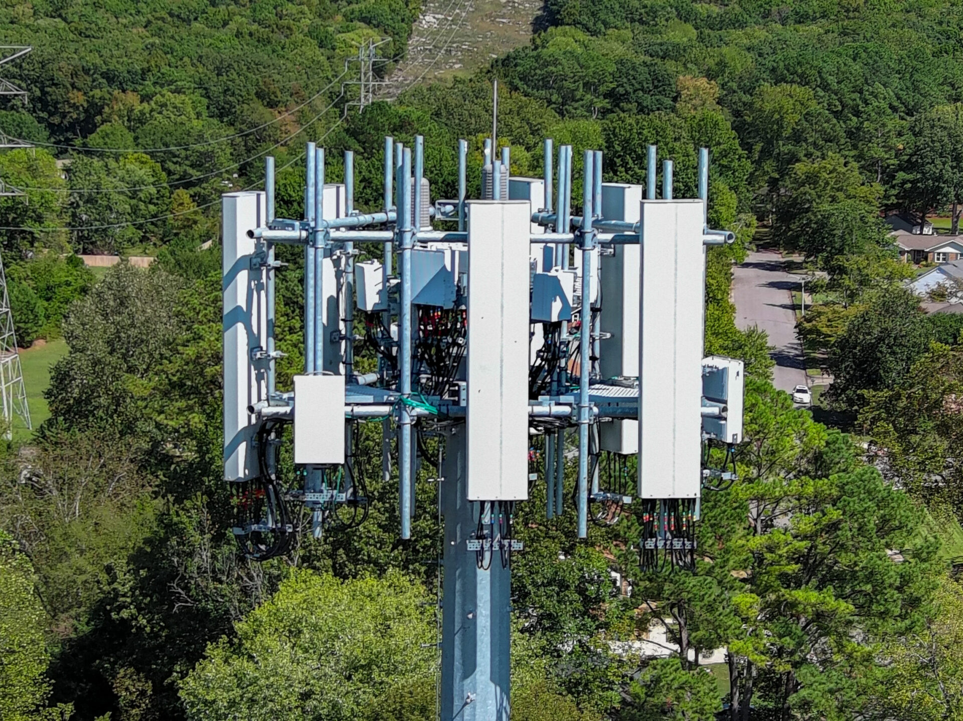
Infrastructure & Utilities
How We Help:
- High-Altitude Structural Inspections: Safely inspect infrastructure like power lines, bridges, and communication towers, reducing the need for manual inspections.
- GIS Data Solutions: Map out utility networks and infrastructure, enabling better management and faster decision-making.
- LiDAR Mapping: Deliver precise elevation data and detailed 3D models for corridor mapping, floodplain analysis, utility planning, and terrain assessments.
Benefits:
- Enhanced safety through remote inspections
- Early detection of infrastructure issues
- Comprehensive mapping for efficient utility management
Environmental Monitoring & Management
How We Help:
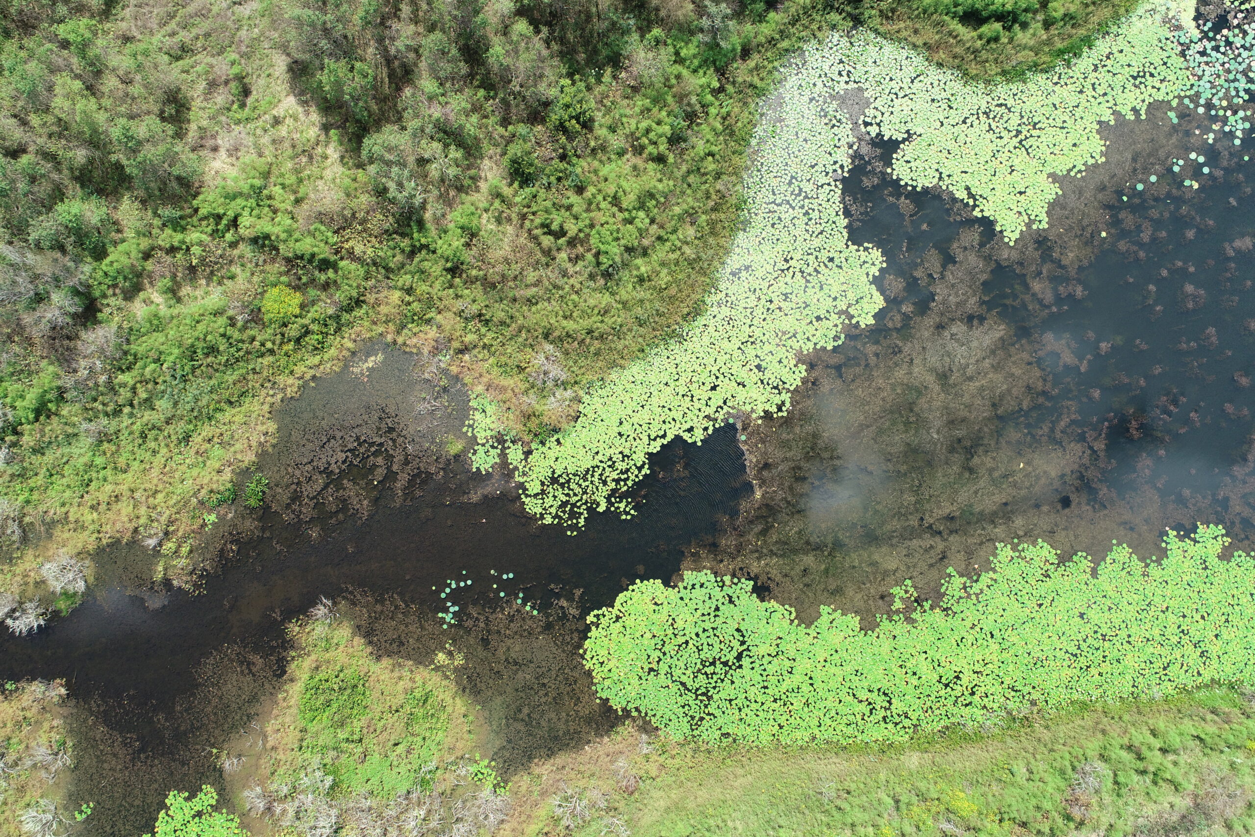
- GIS Data Solutions: Integrate high-resolution aerial datasets into GIS for environmental analysis, land use monitoring, and planning.
- Aerial Imaging: Document environmental changes such as deforestation, flooding, or erosion with high-resolution aerial imagery.
- LiDAR Mapping: Deliver high-precision terrain and vegetation models for watershed analysis, biomass estimation, habitat modeling, and reforestation planning.
Benefits:
- Real-time environmental data collection
- Enhanced land management and conservation efforts
- Accurate mapping for planning and restoration projects
Insurance & Claims Assessment
How We Help:
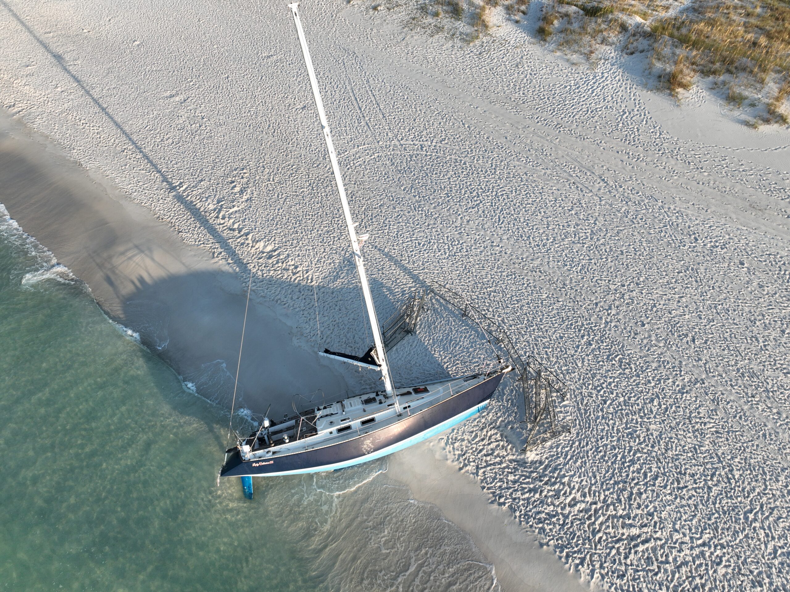
- Aerial Imaging & Videography: Capture high-quality aerial images and videos of damage after natural disasters, such as floods, fires, or storms, to assist in claims processing.
- 3D Photogrammetric Modeling: Create accurate 3D models of damaged properties to streamline damage assessment and repair planning.
- High-Altitude Structural Inspections: Conduct thorough inspections of hard-to-reach areas such as rooftops and large structures to assess storm or accident damage.
Benefits:
- Accelerated claims assessment process
- Reduced need for on-site inspections
- Precise damage documentation for insurance reports
Government & Public Safety
How We Help:
- GIS Data Solutions: Provide geospatial data for urban planning, infrastructure development, and emergency response.
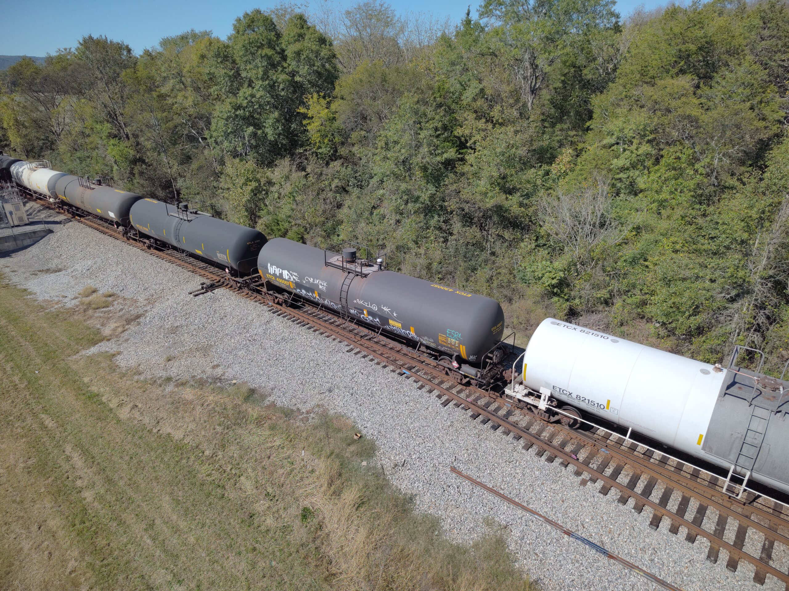
- Aerial Imaging: Document public properties, parks, and municipal developments to assist with planning and safety assessments.
- LiDAR Mapping: Provide high-resolution elevation and surface models for flood modeling, urban planning, road development, and hazard mitigation.
Benefits:
- Improved urban planning with precise geospatial data
- Enhanced emergency response capabilities
- Cost-effective monitoring of public infrastructure
Real Estate & Property Management
How We Help:
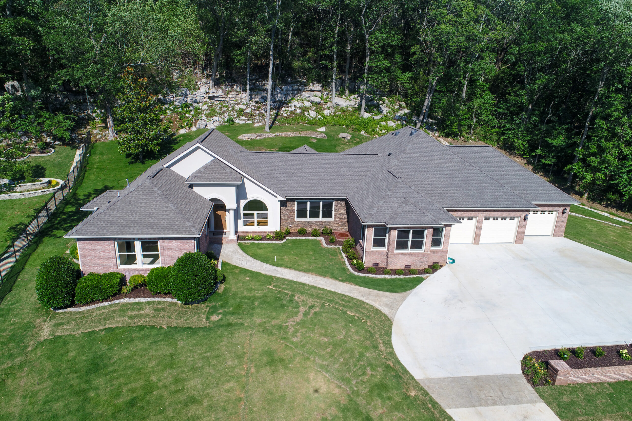
- Aerial Imaging & Videography: Showcase properties from new, dynamic perspectives that captivate potential buyers. Our high-quality images and videos highlight property features, landscapes, and surrounding amenities.
- 3D Photogrammetric Modeling: Create detailed 3D models of properties and land to assist with development planning, sales, and virtual tours.
- High-Altitude Structural Inspections: Conduct safe and thorough inspections of rooftops, facades, and infrastructure to assess maintenance needs without invasive measures.
Benefits:
- Faster property marketing
- Enhanced buyer engagement with virtual tours
- Streamlined property inspections for managers and developers
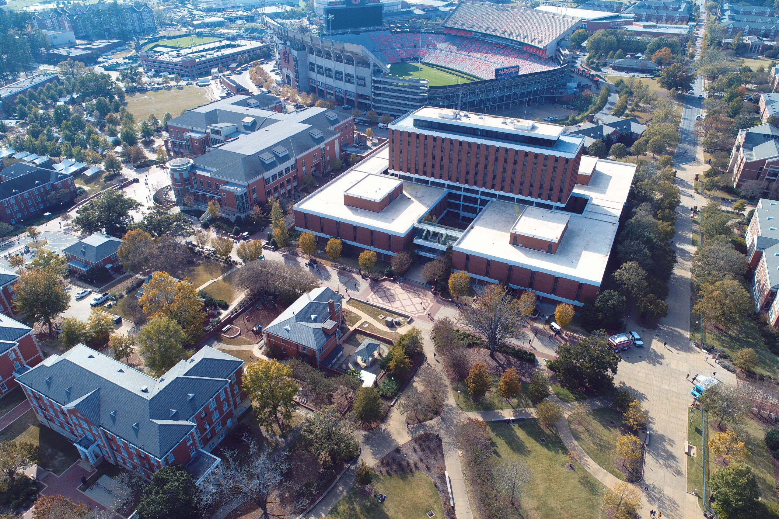
Event Media & Marketing
How We Help:
- Aerial Videography: Capture stunning aerial footage of outdoor events, festivals, and celebrations to use in marketing and promotional materials.
- Aerial Photography: Provide unique and dynamic shots that showcase event venues and activities from a new perspective.
Benefits:
- Engaging, high-quality promotional content
- Increased visibility for event organizers
- Captures the scale and excitement of large events
Get Started with Bush Drone Data Today
No matter the industry you’re in, our drone services are designed to provide your business with cutting-edge tools and actionable data. Whether you’re overseeing a construction project, managing agricultural operations, or ensuring infrastructure safety, our advanced aerial solutions deliver the precision and clarity needed to make well-informed decisions. By leveraging our expertise, you can improve operational efficiency, reduce costs through non-invasive inspections, and gain valuable insights.
Contact us today to learn how our comprehensive drone services can elevate your business. Let us show you how we can help you take your operations to new heights by transforming your decision-making processes with the power of aerial data.