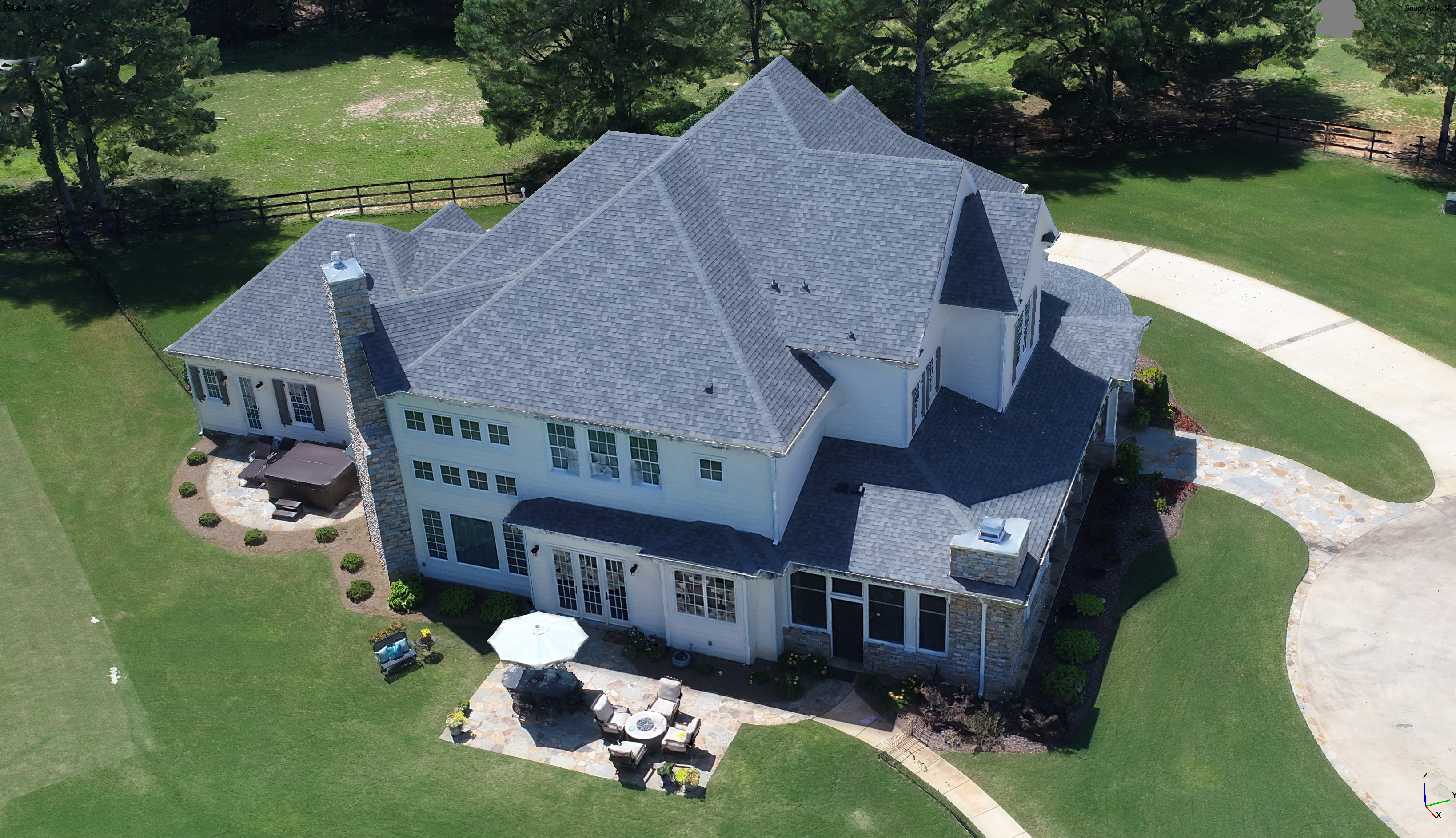
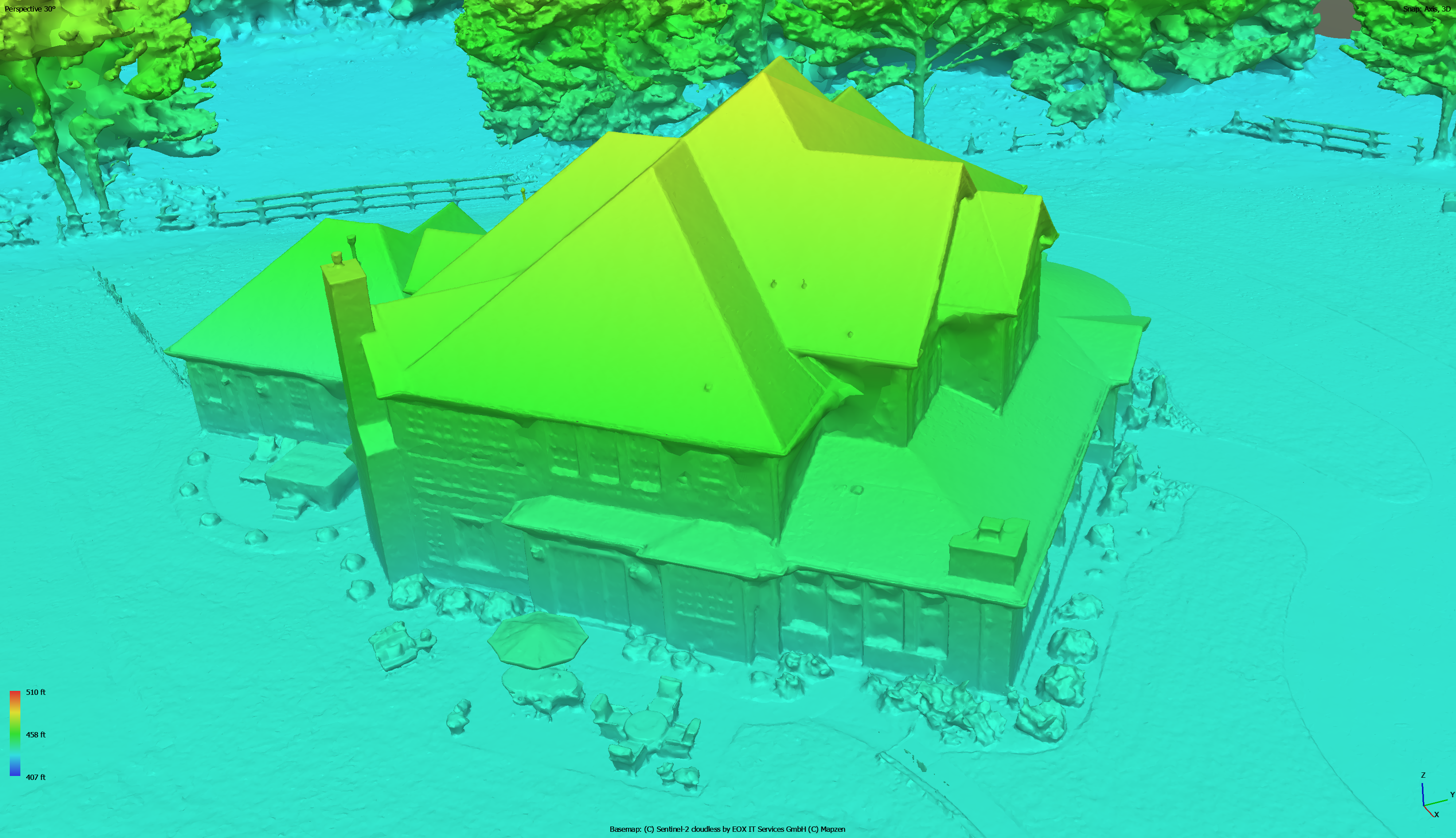
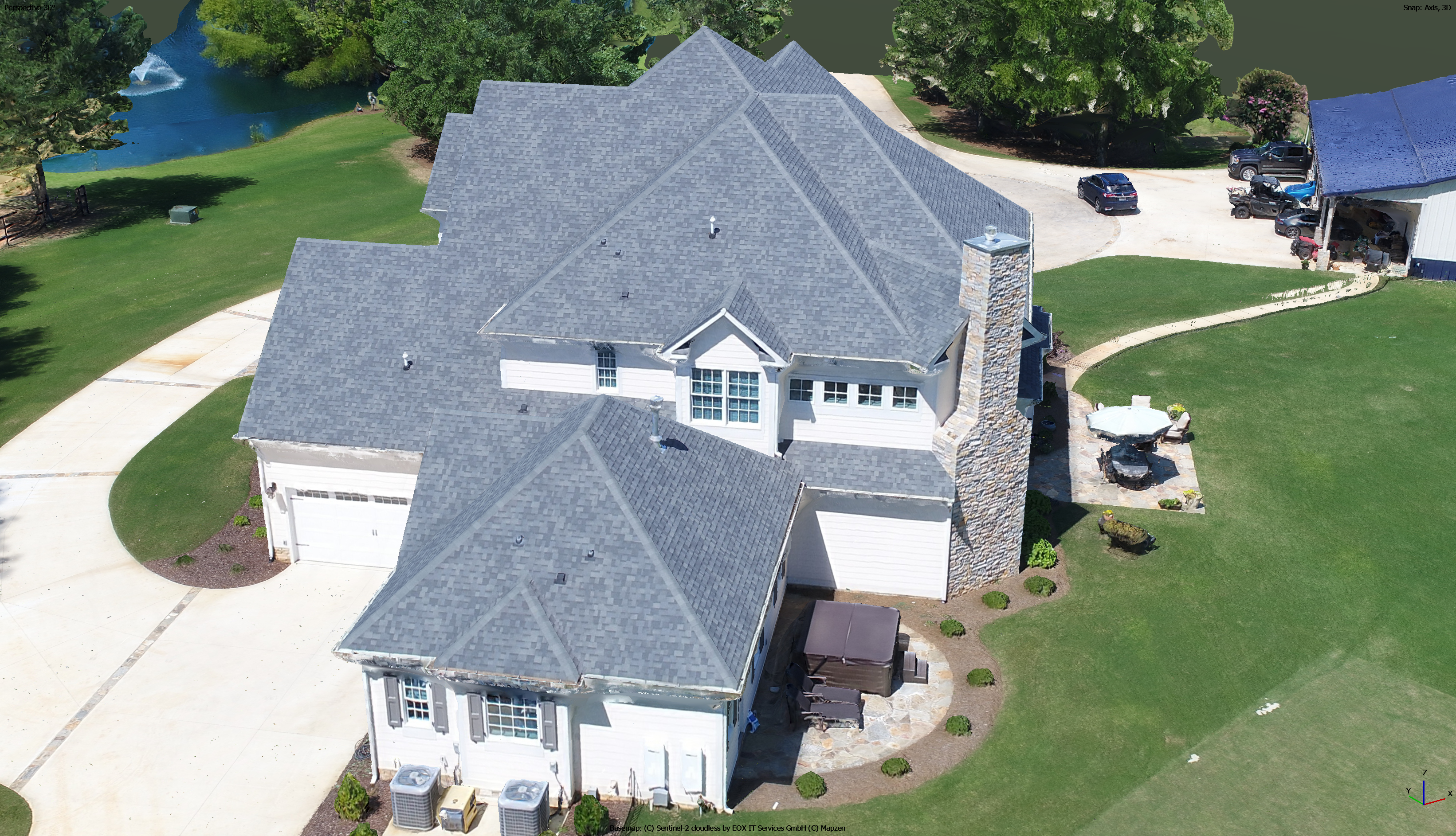
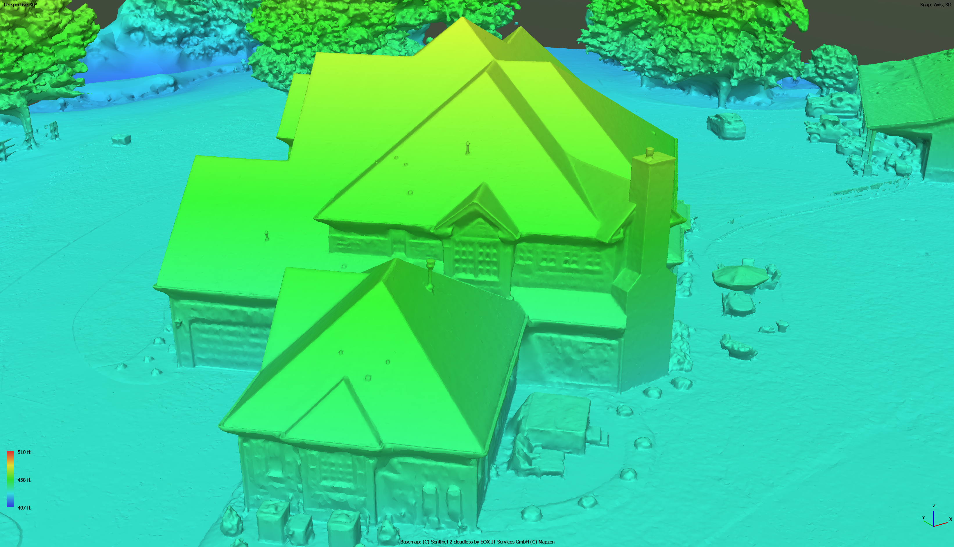
Our Services - 3D Photogrammetric Modeling
Bring your projects to life with Bush Drone Data’s 3D mapping and modeling services.
We deliver:
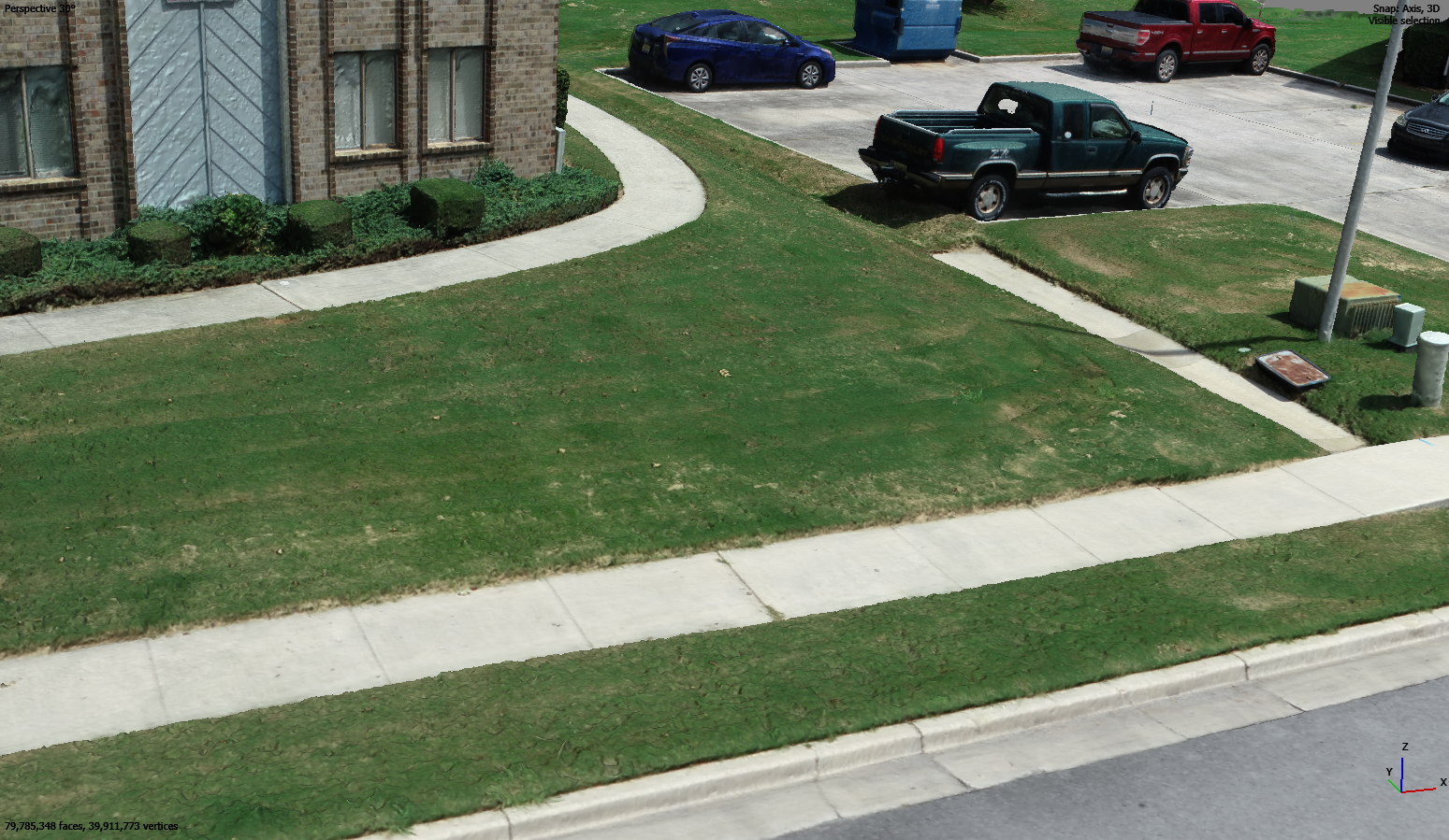
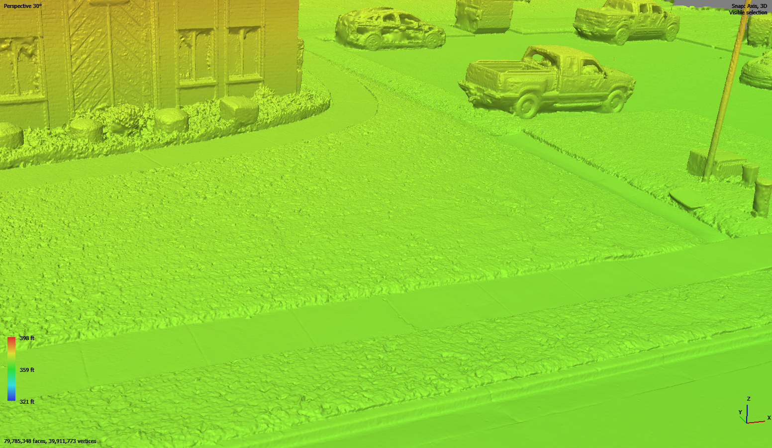
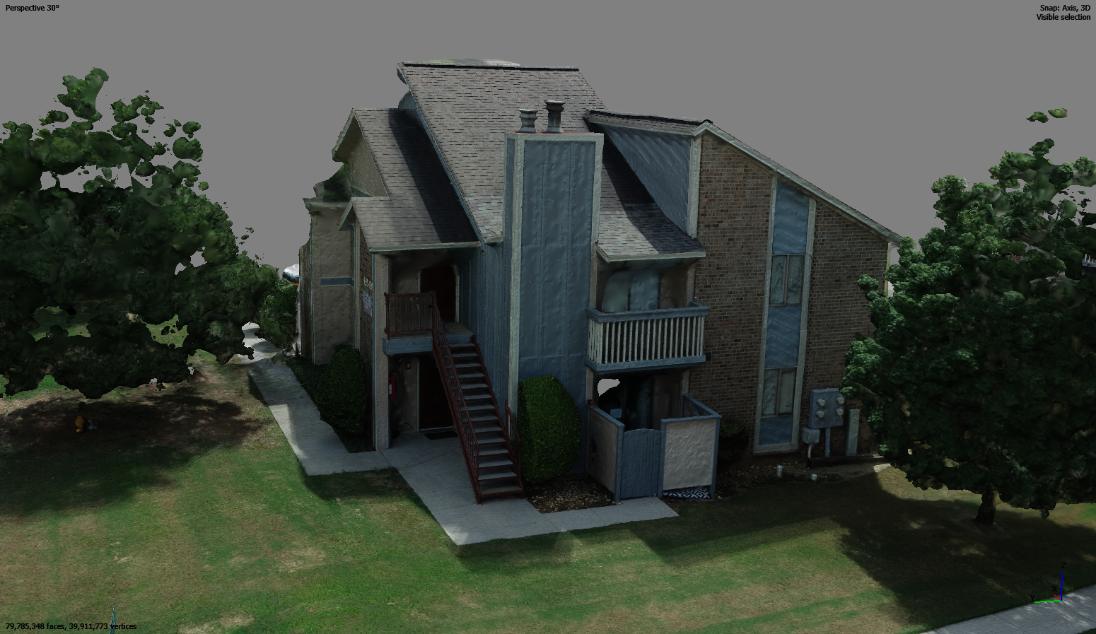
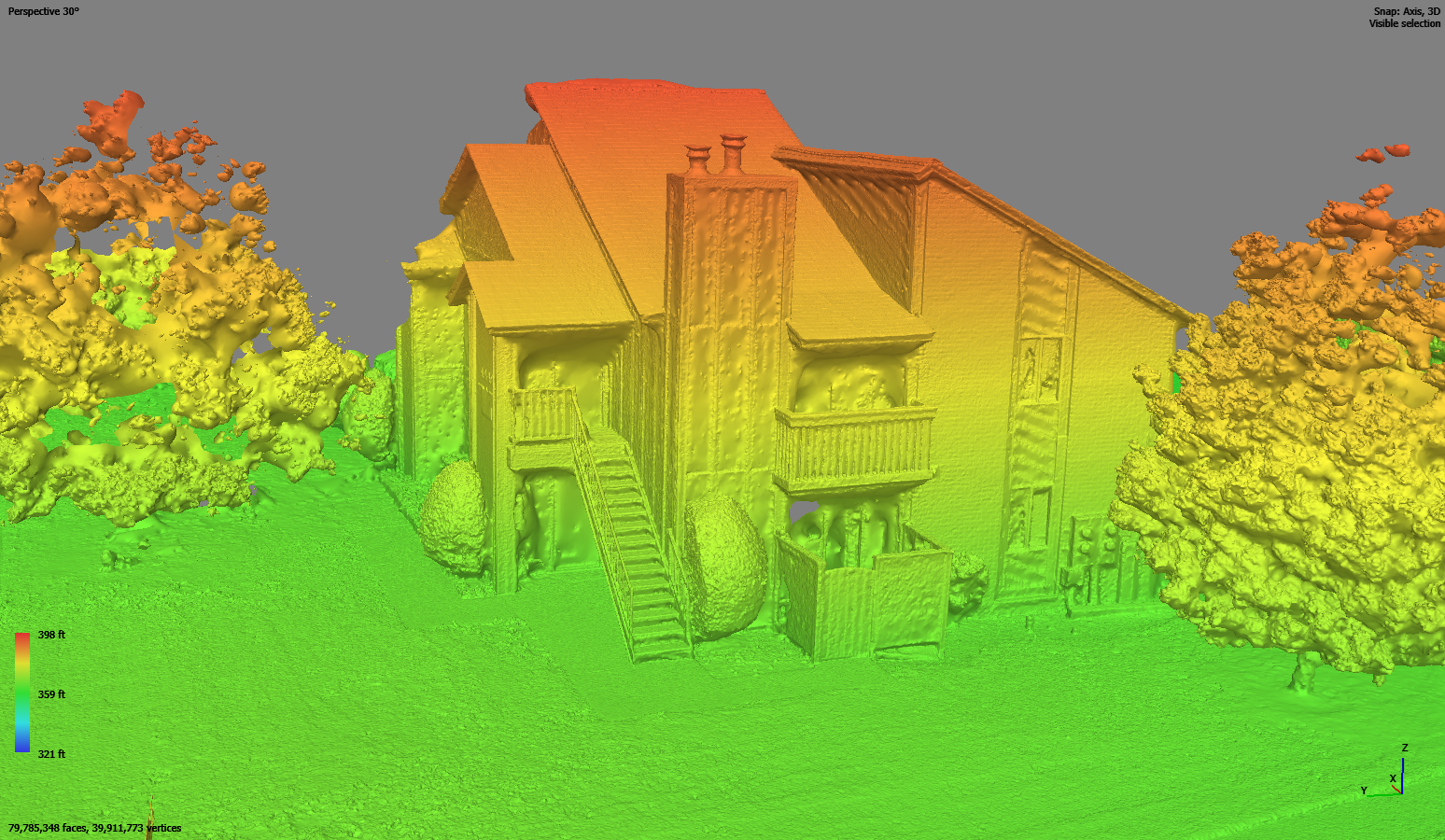
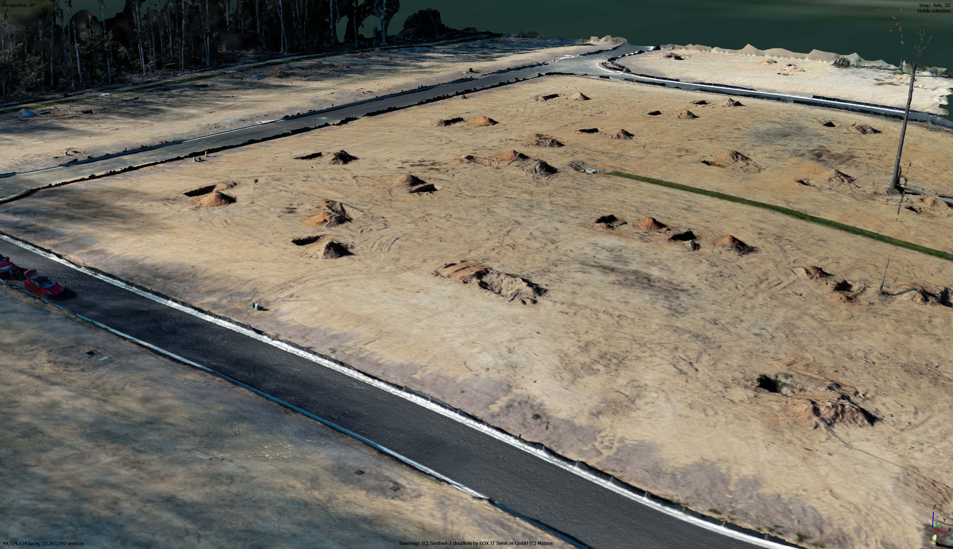
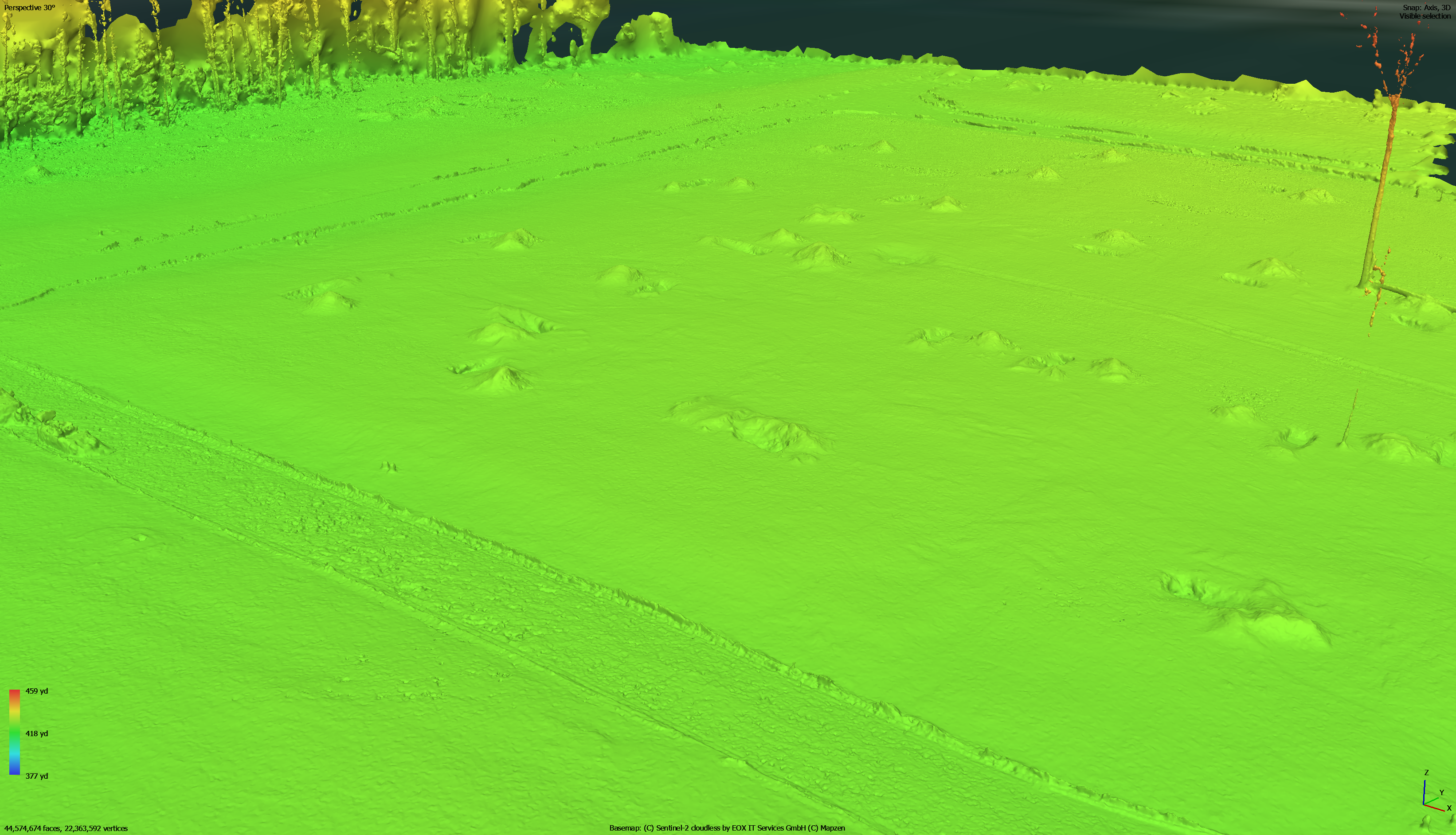
Accurate 3D models from aerial imagery
Detailed terrain & structure visualization
Data for planning, design & analysis
Ideal for construction, engineering, and geospatial professionals—our models offer deep insights and support smarter decisions.
Unlock the full potential of your projects with Bush Drone Data’s expert 3D mapping, modeling, and photogrammetry services. We deliver precise 3D maps and models derived from high-resolution aerial imagery, essential for sophisticated job site planning, construction management, and structural assessments.
Utilizing advanced methodologies, we convert aerial images into detailed 3D representations, enabling complex project visualization, rigorous spatial analysis, and strategic decision-making. Our tailored solutions provide comprehensive insights and intricate structural views, designed to meet the demands of geospatial and engineering professionals.
