Boost efficiency with Bush Drone Data’s thermal imaging services—powered by advanced drone technology.
We deliver:
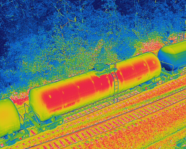
Accurate temperature profiles
Thermal insights on structures & terrain
Early detection of maintenance issues
Our aerial thermal scans reveal hidden problems, improve planning, and enhance decision-making across your projects.
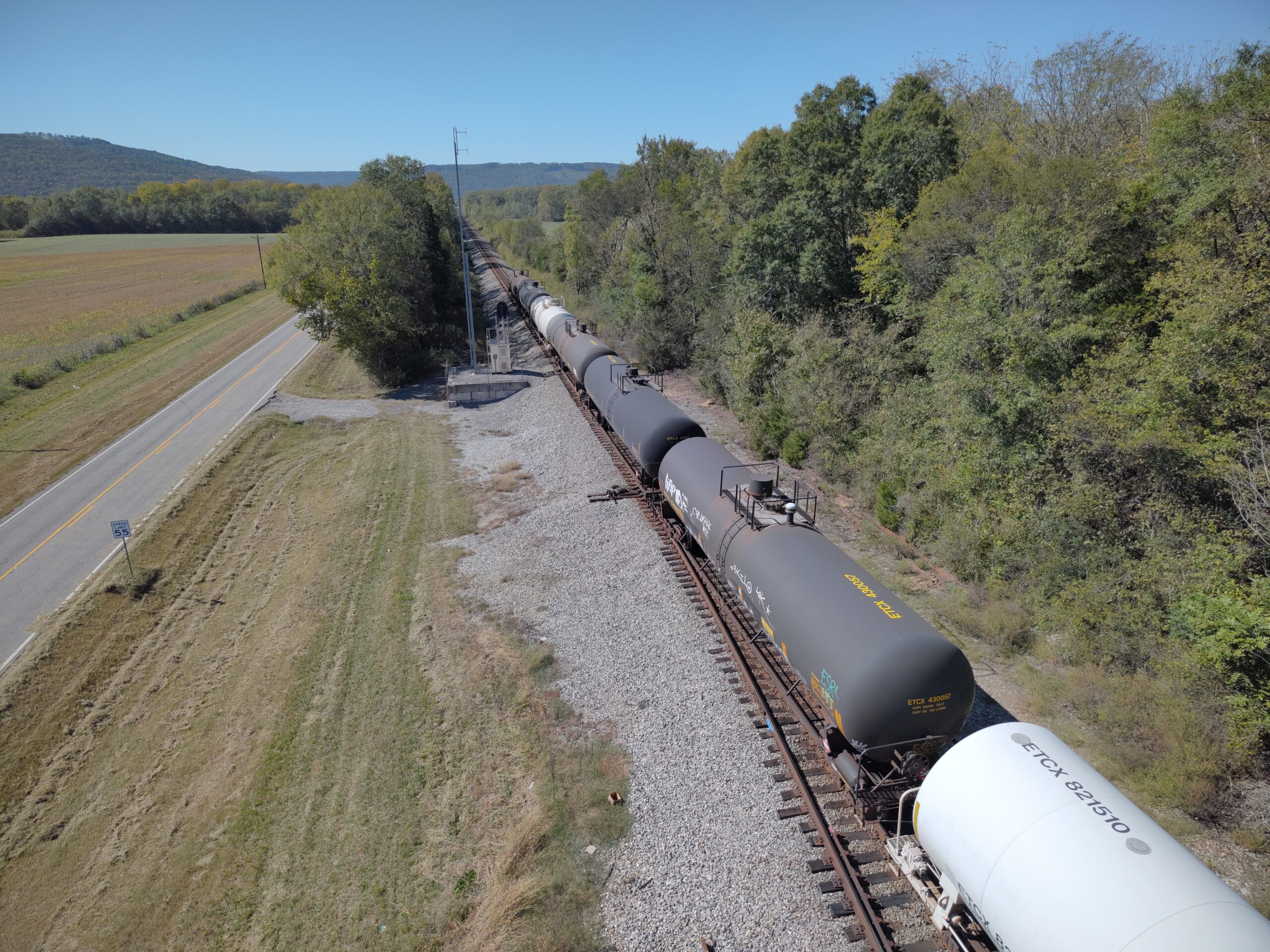
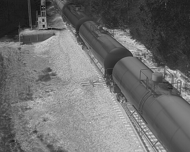
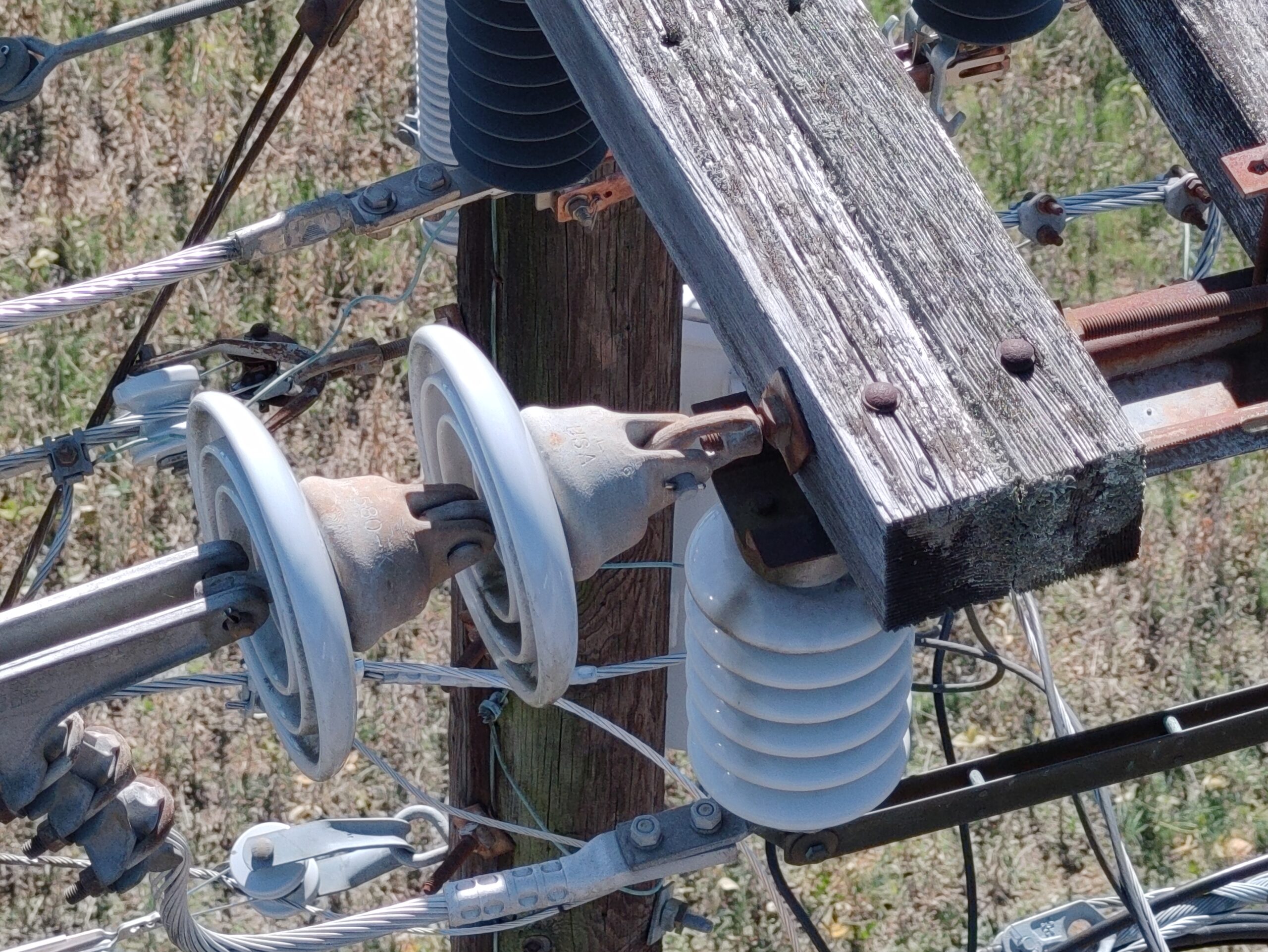
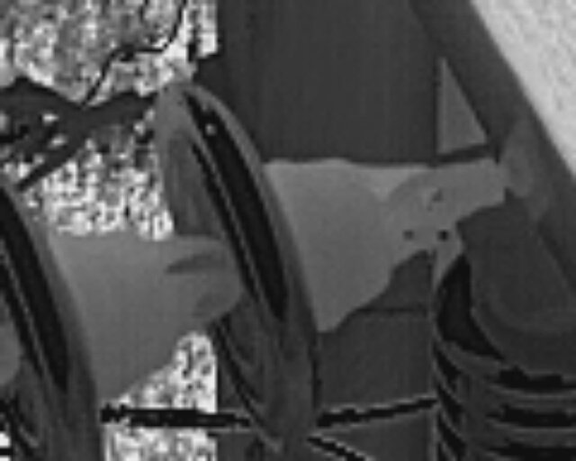
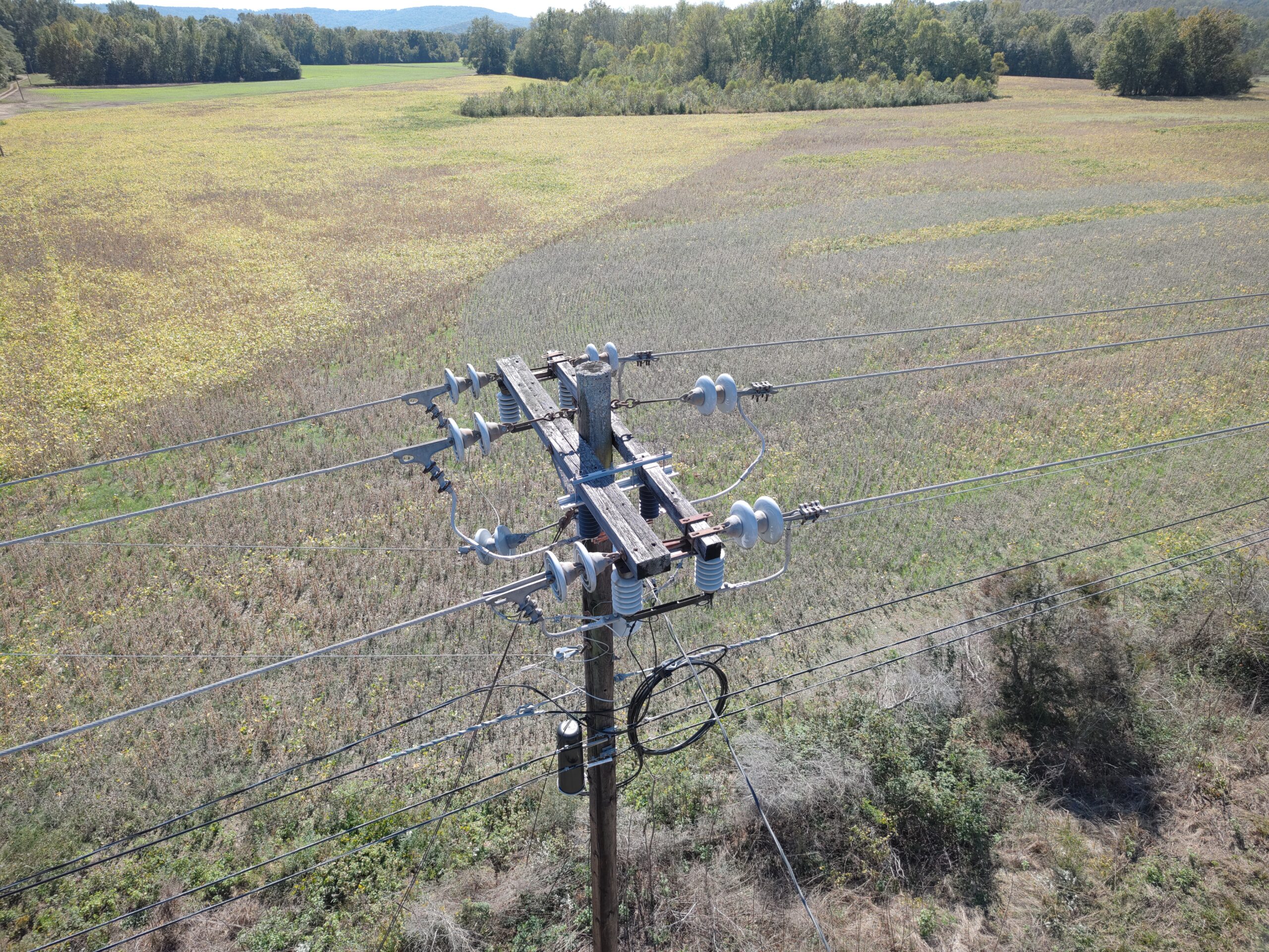
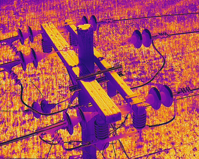
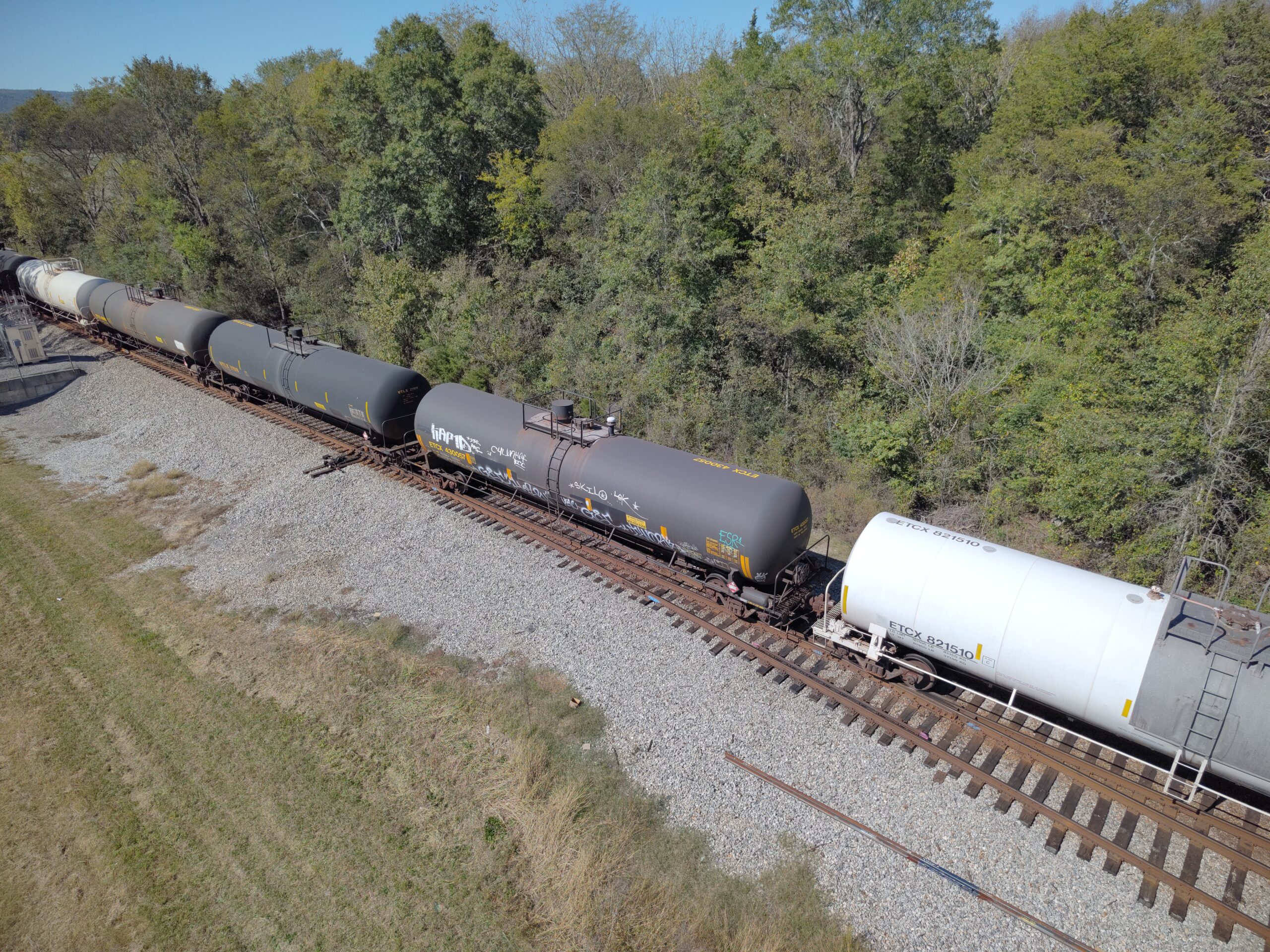
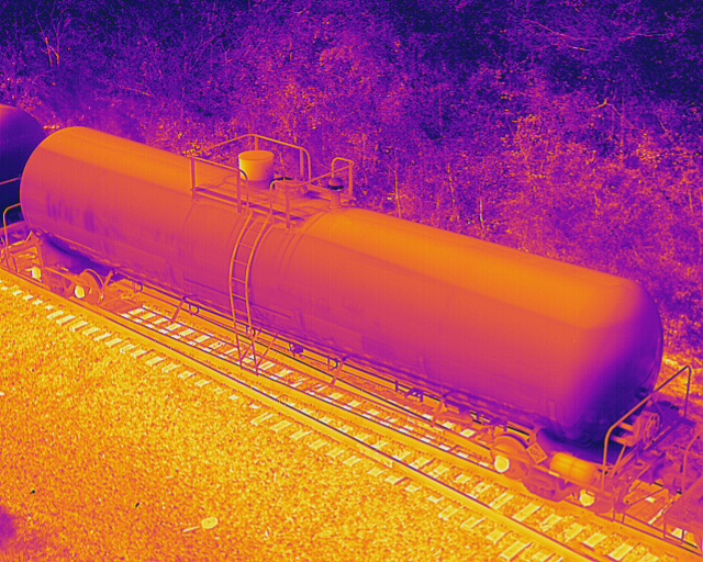
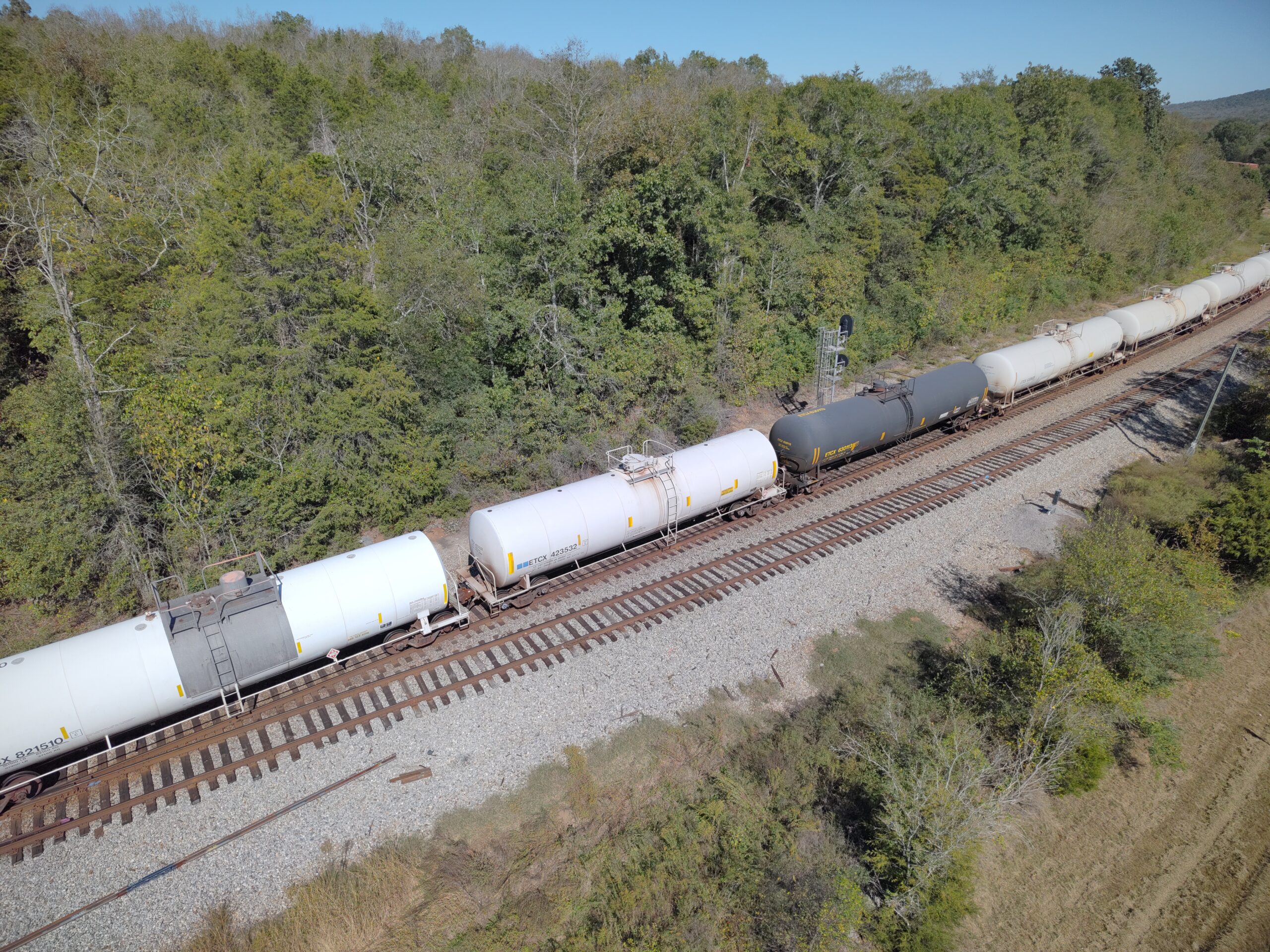
Optimize your project’s efficiency with Bush Drone Data’s advanced aerial thermal imaging services. By leveraging cutting-edge drone technology, we capture detailed temperature profiles and assess the conditions of various structures and landscapes from above.
Our precise aerial thermal imaging provides critical insights into thermal performance and structural health, facilitating effective maintenance planning and problem detection. Our thermal imaging solutions offer a comprehensive understanding of temperature variations and structural integrity, enhancing decision-making and project outcomes.
Office Hours
Contact Us
Have a question or a project in mind? We’re here to help. Call today or send an email to info@bushdronedata.com to discuss your surveying needs and learn how our drone-based solutions can support your project with precise, reliable geospatial data.