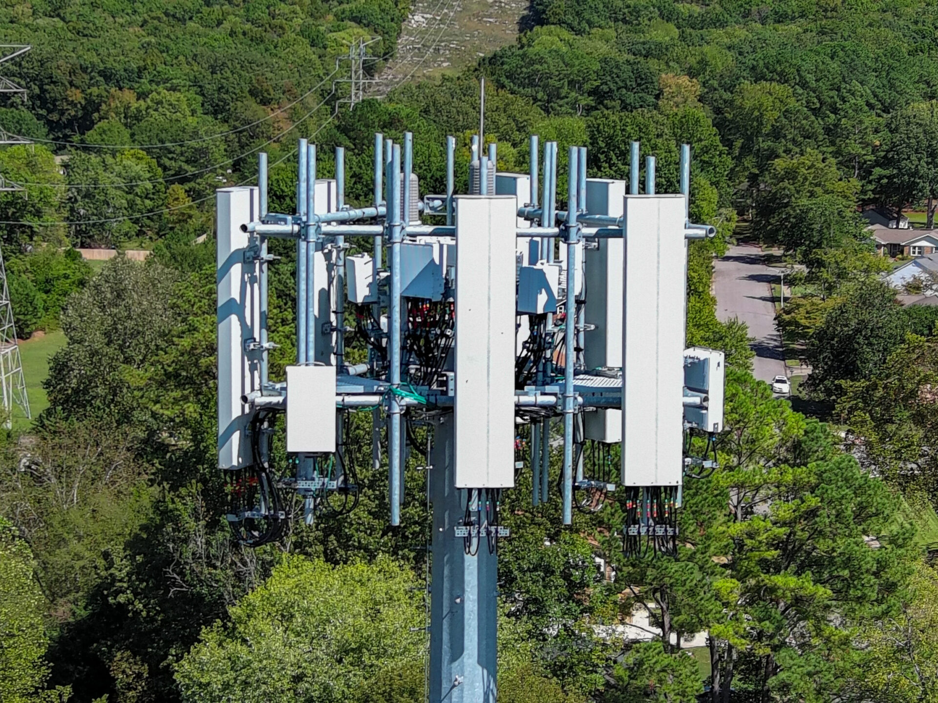
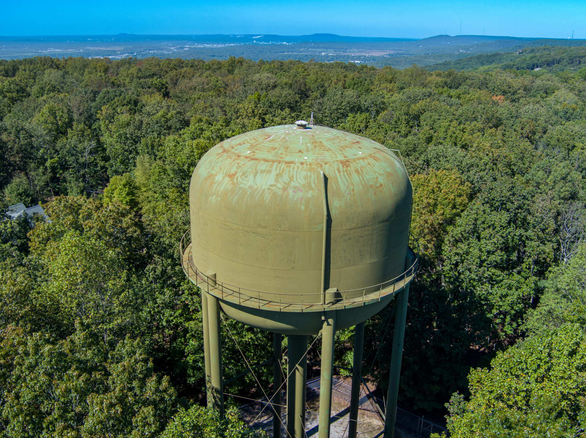
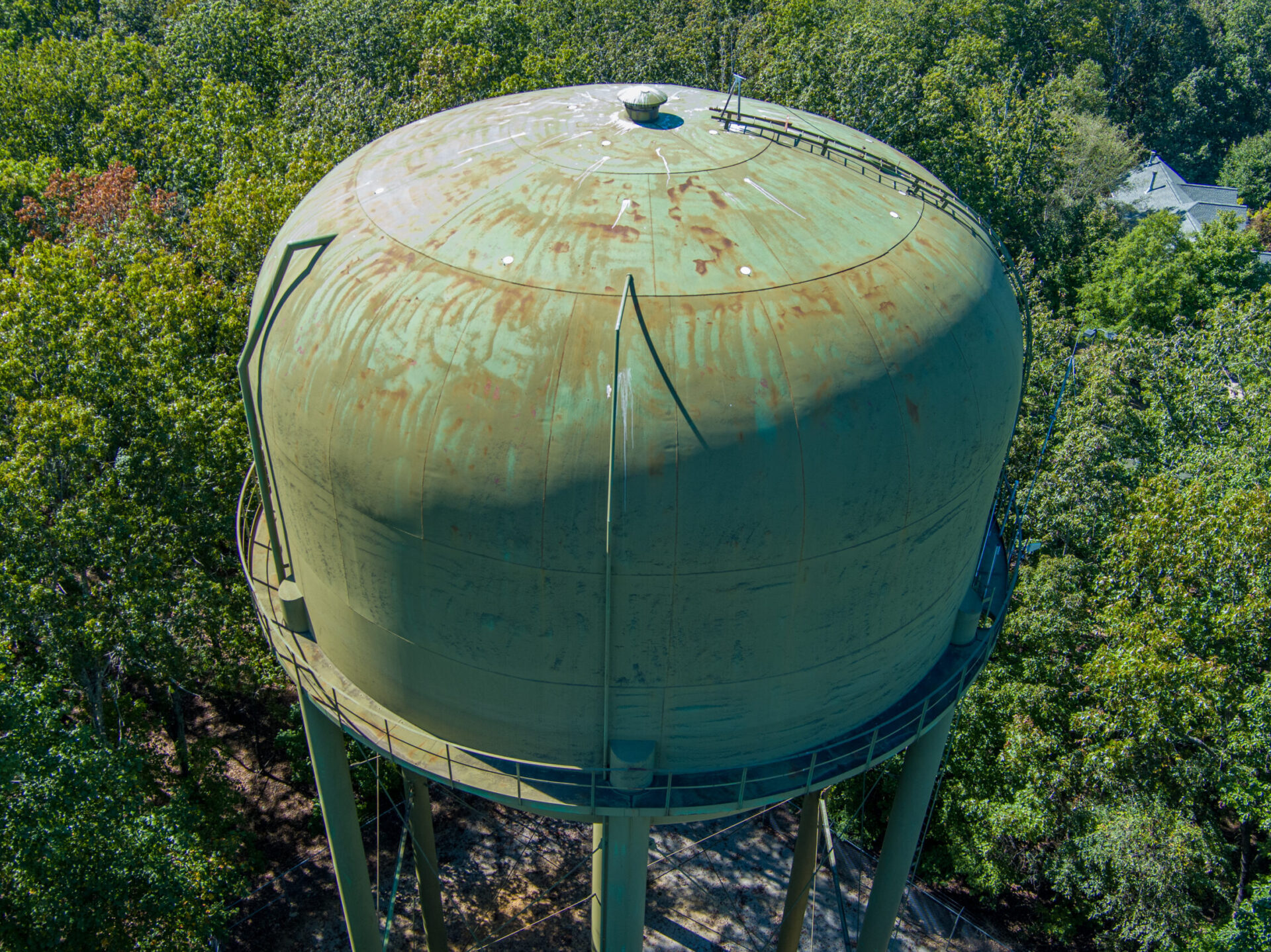
Bush Drone Data delivers detailed aerial inspections for critical infrastructure and active construction sites.
We provide:
High-resolution imagery from above
Structural integrity assessments
Ongoing project monitoring
Our inspections offer clear, actionable data—helping you make informed decisions and maintain quality throughout your project.
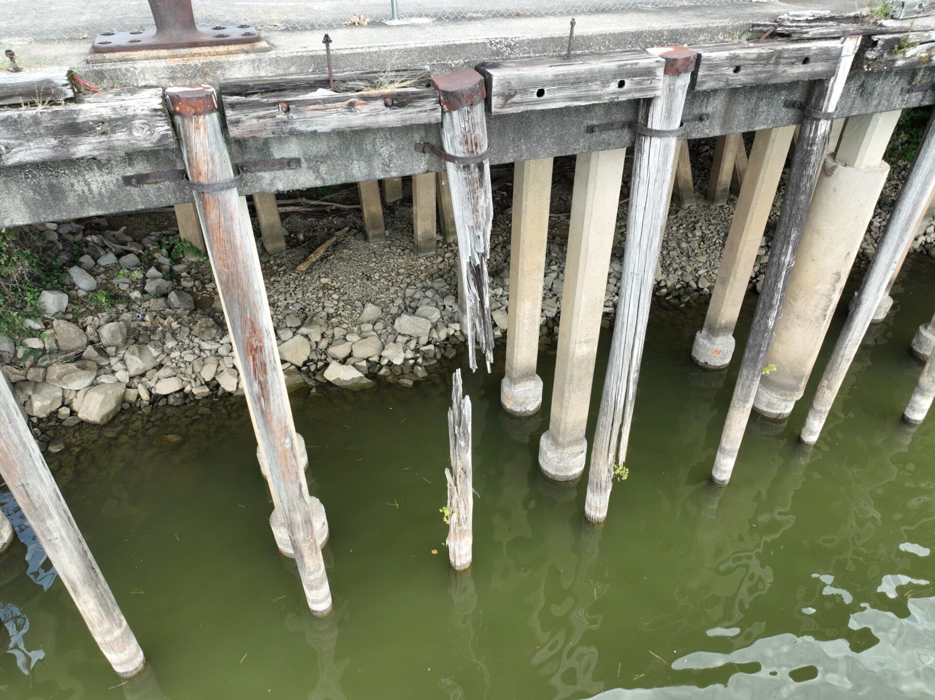
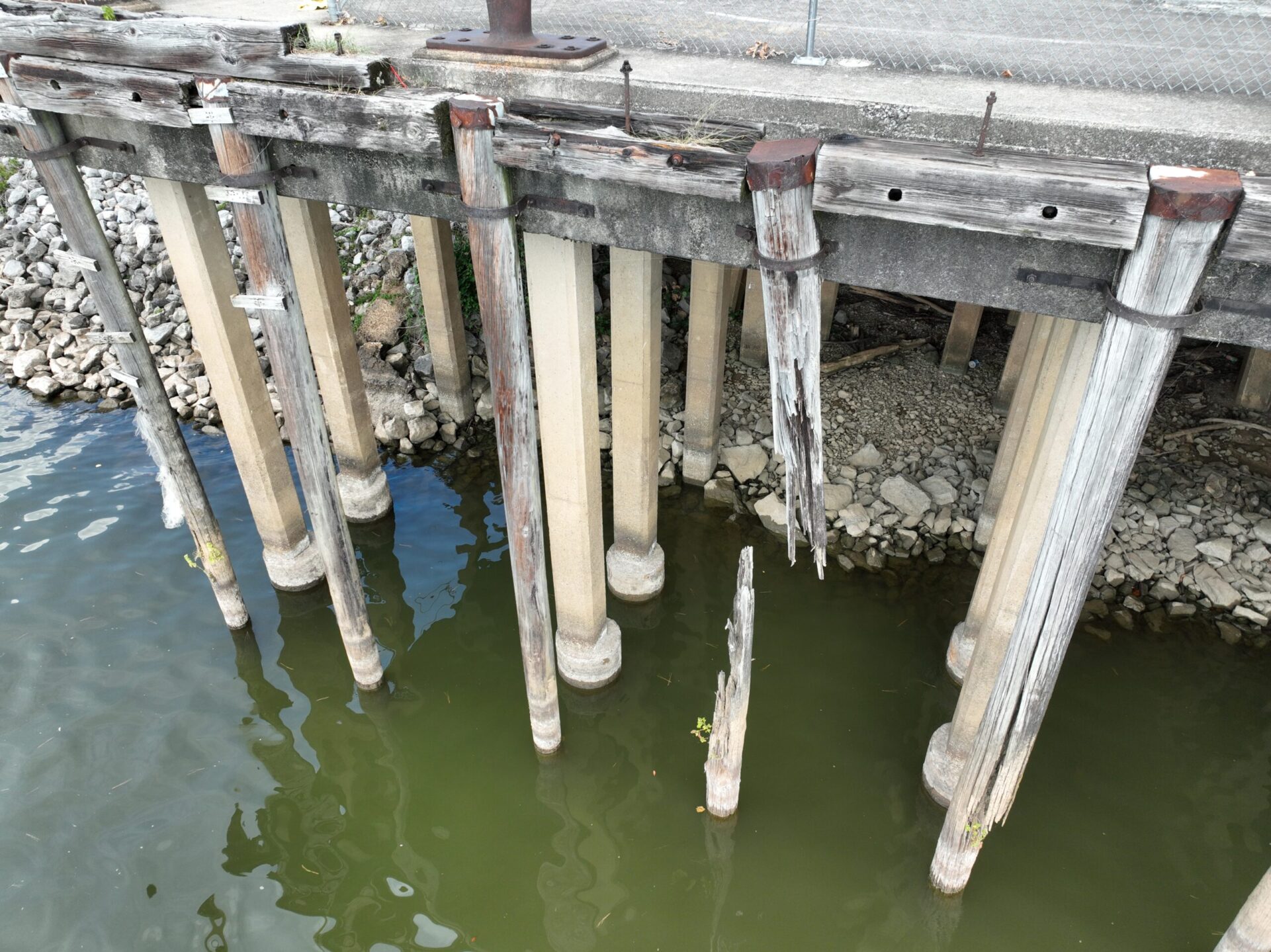
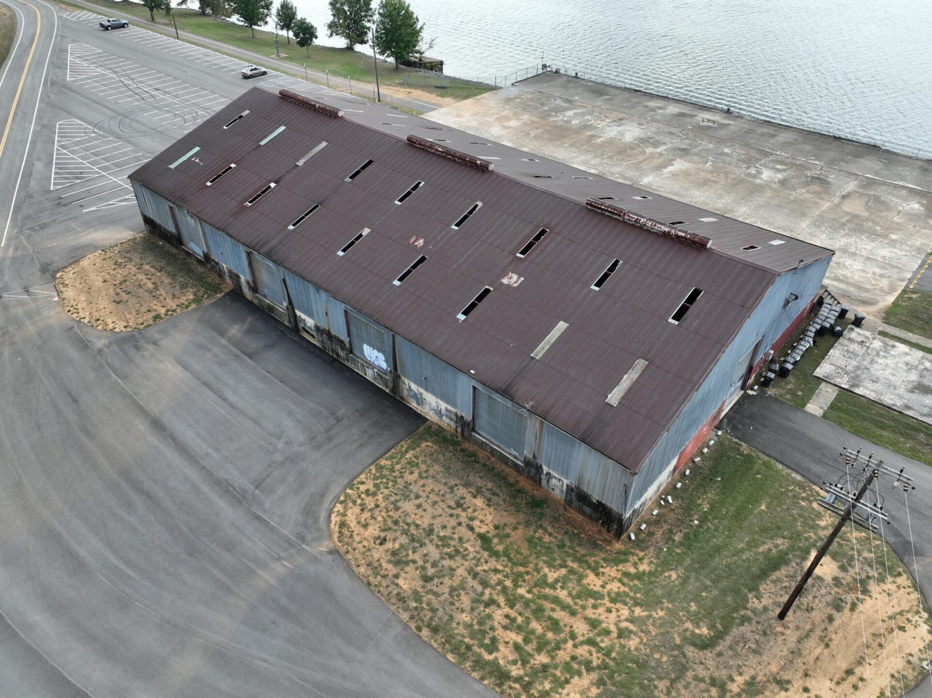
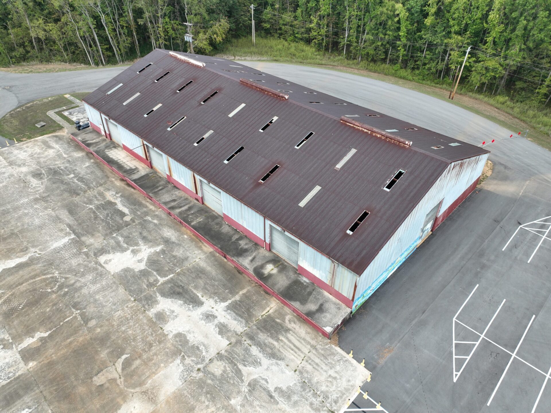
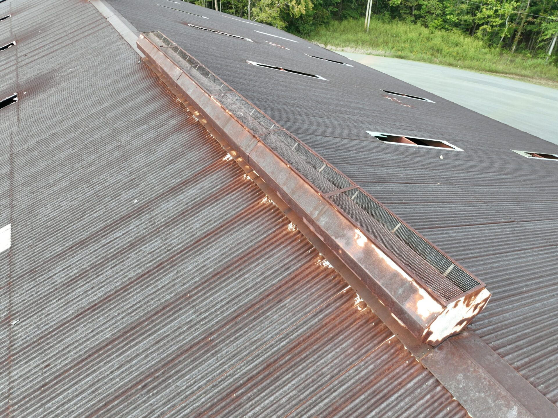
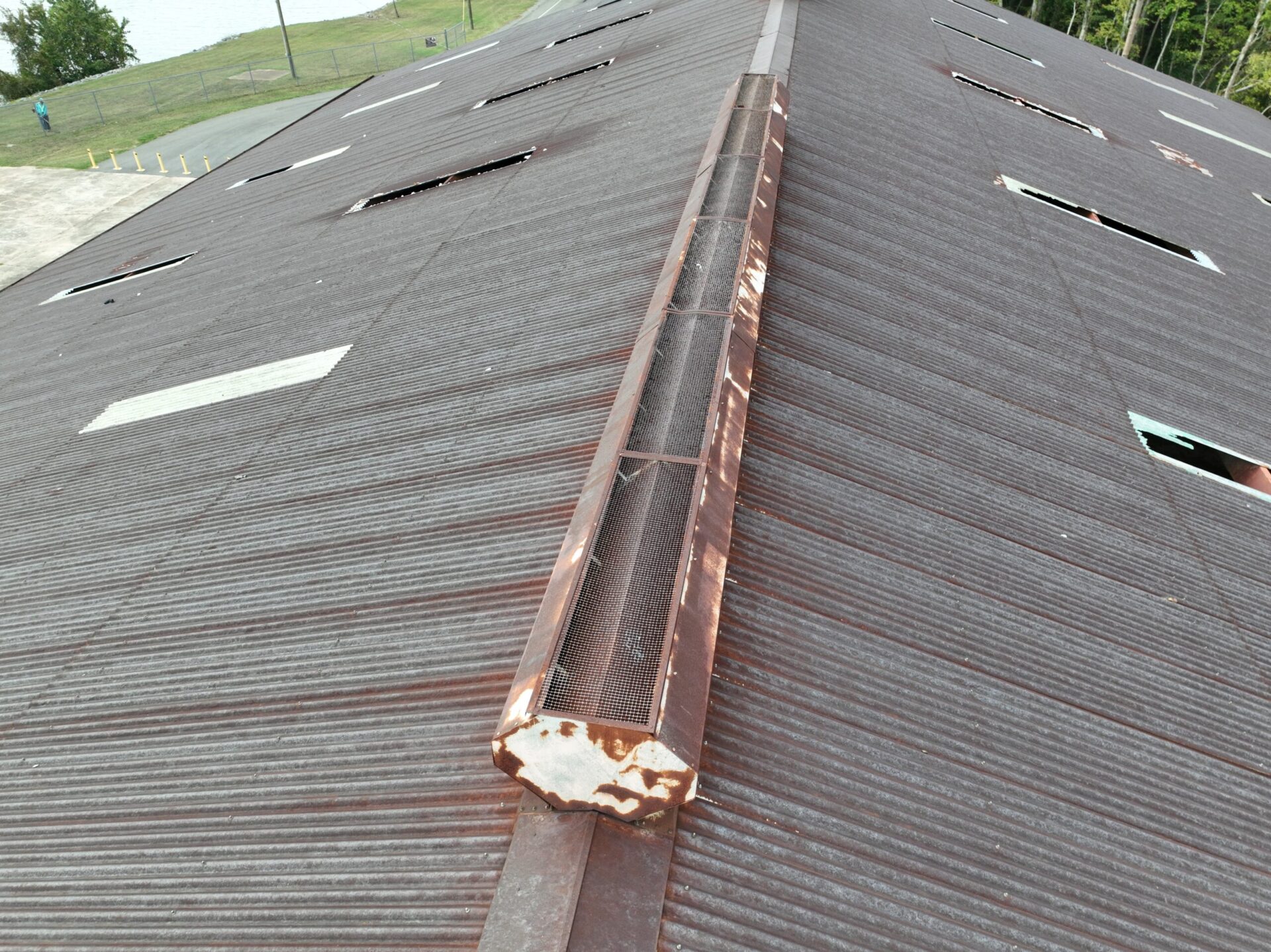
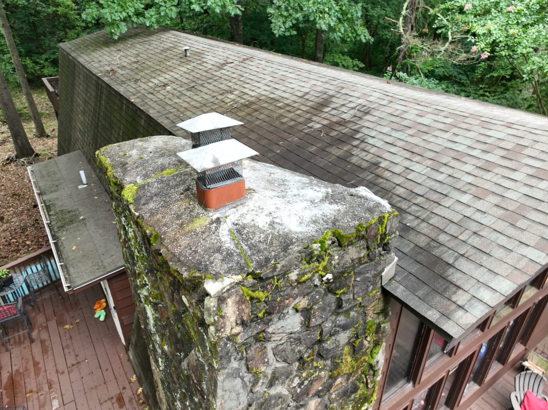
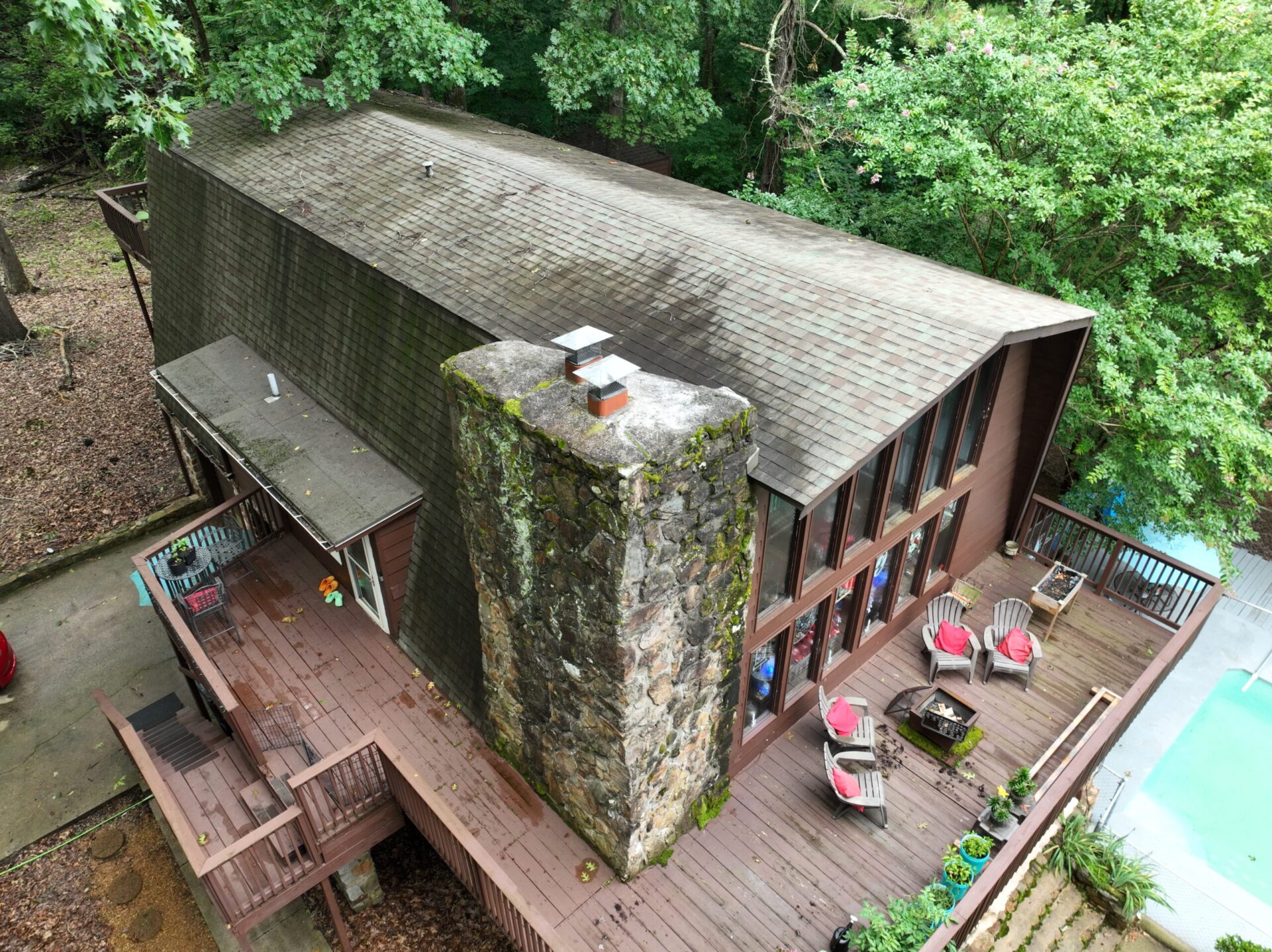
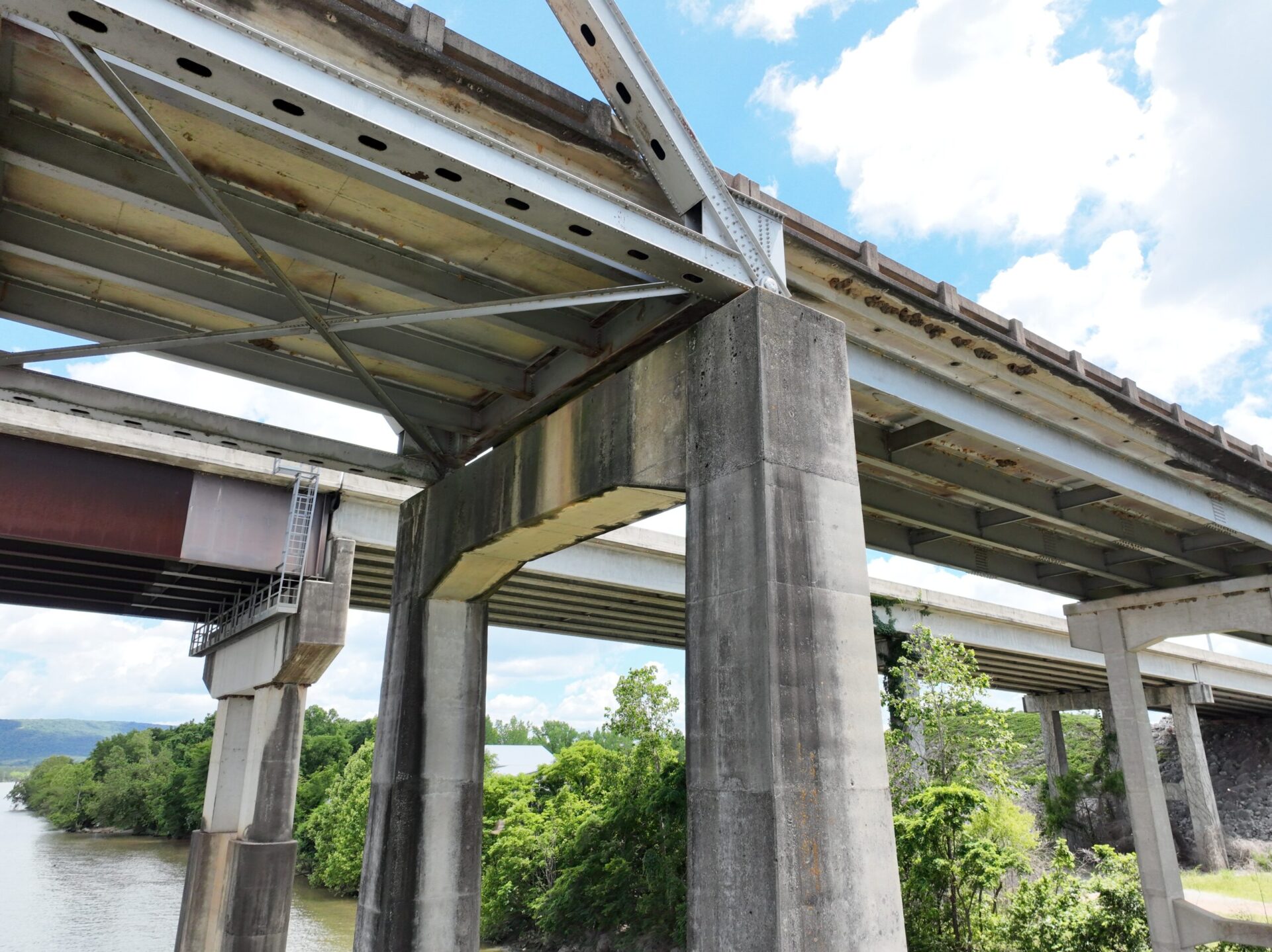
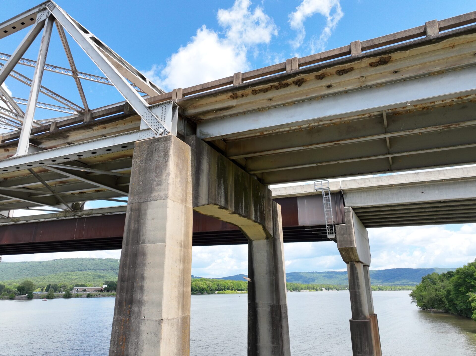
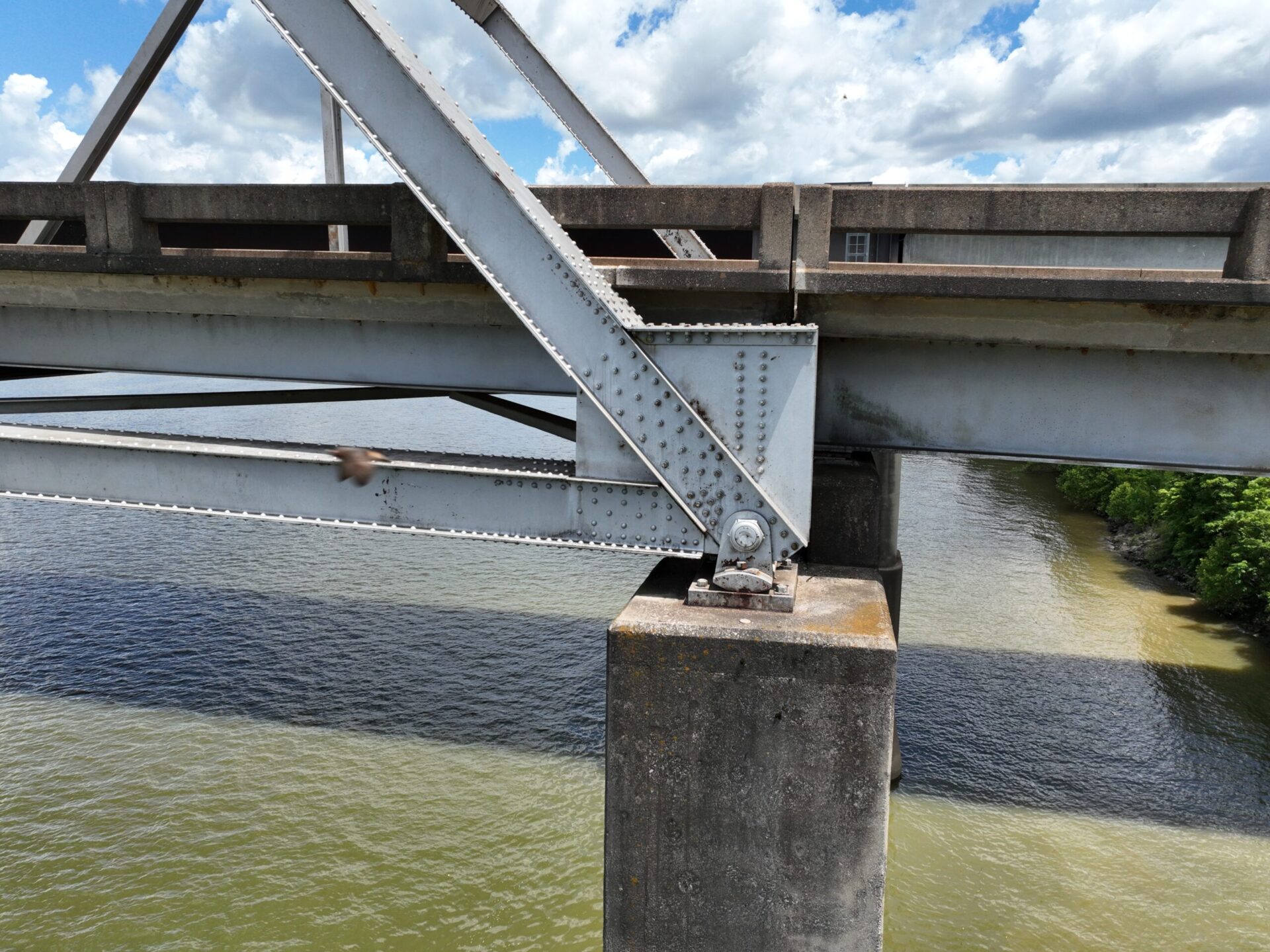
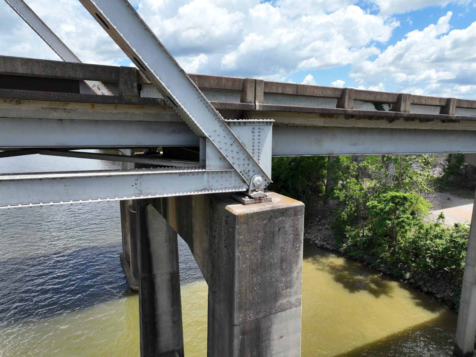
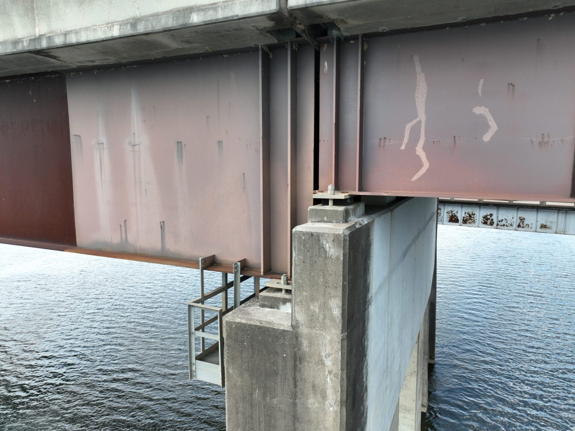
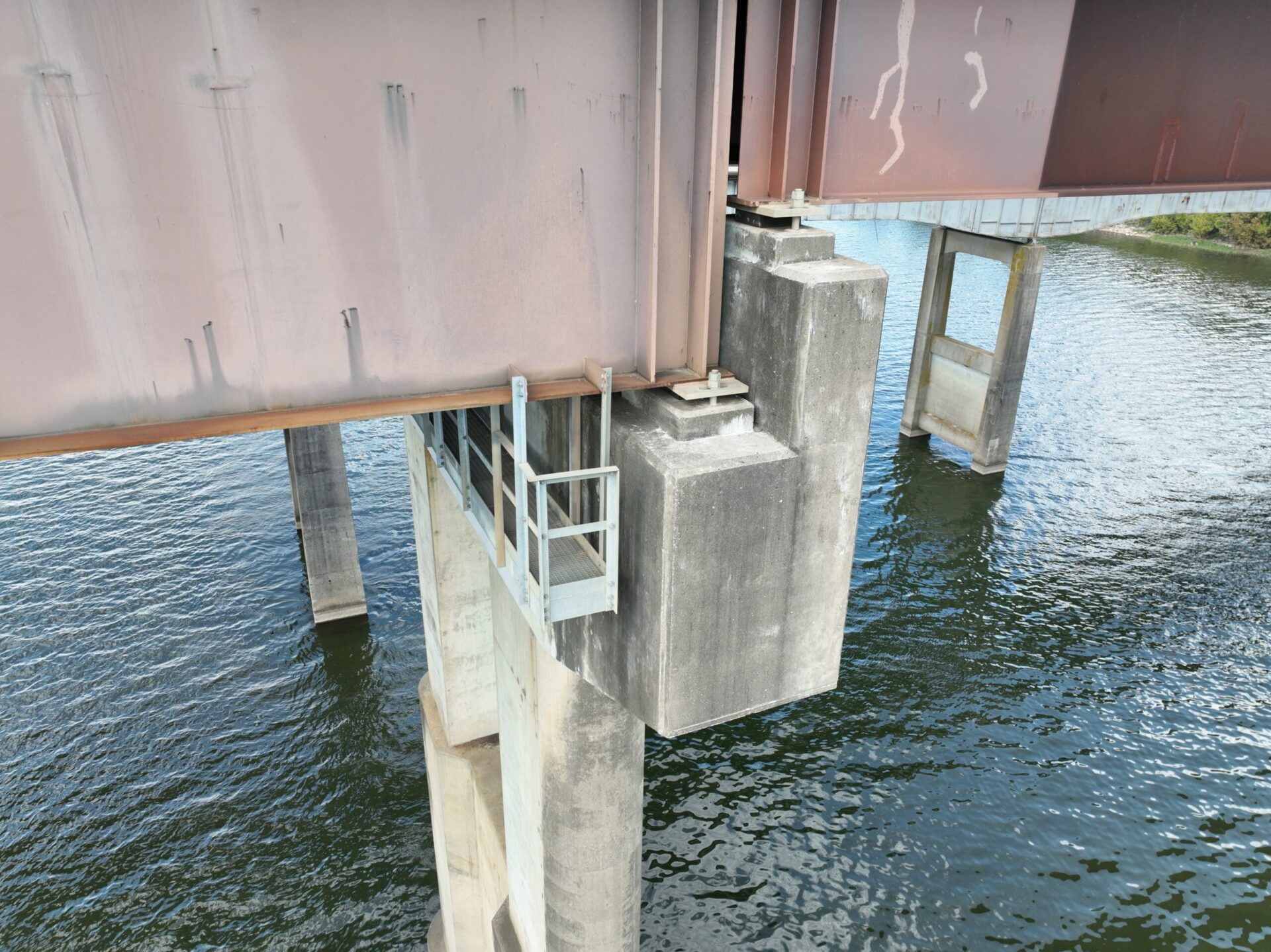
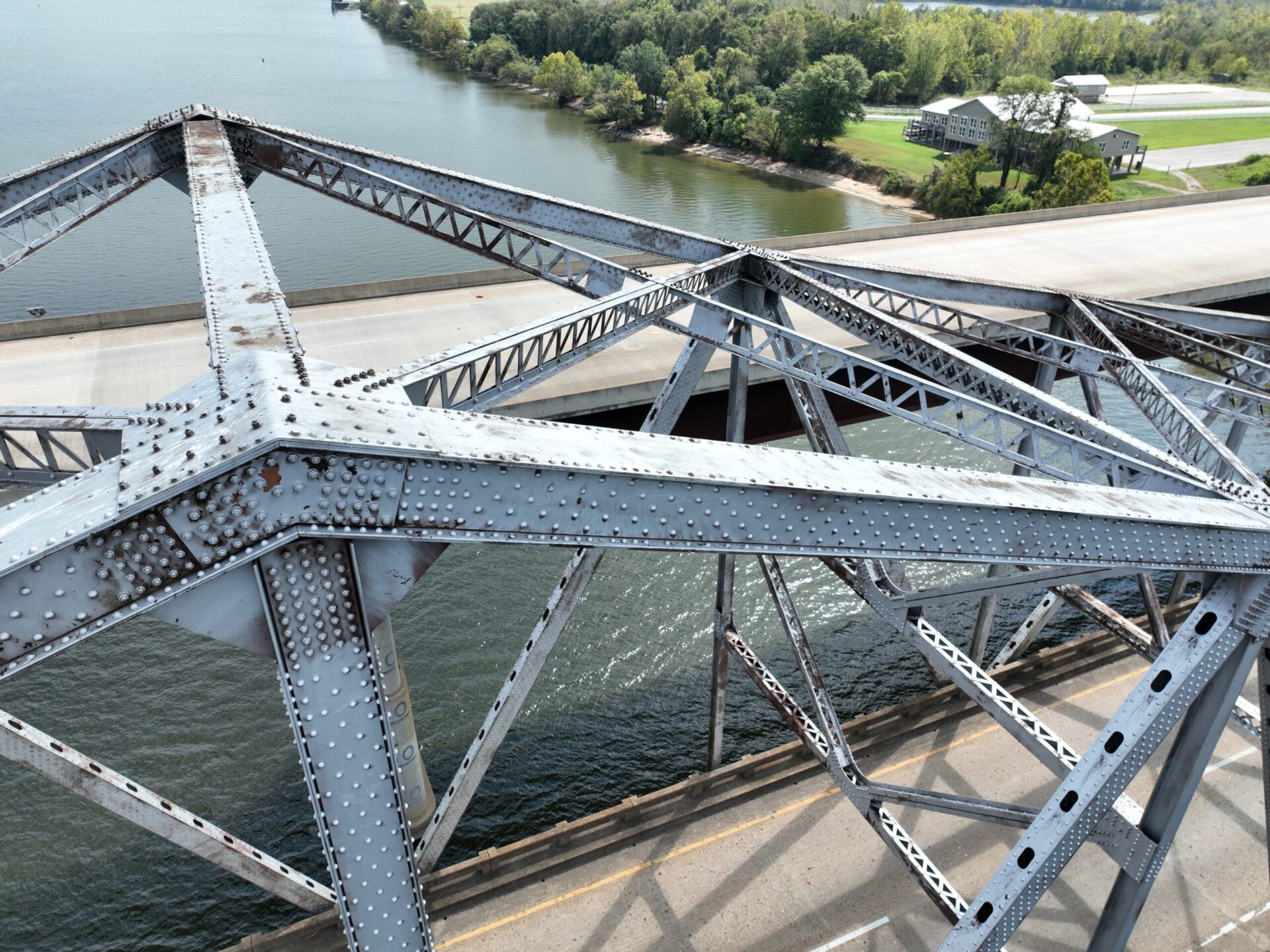
Enhance your project oversight with Bush Drone Data’s high-altitude structural inspection services. We execute detailed aerial inspections to evaluate critical infrastructure, monitor ongoing construction developments, and provide comprehensive structural integrity reporting.
Utilizing advanced drone technology, we capture high-resolution imagery and data from elevated perspectives, ensuring thorough assessments and precise documentation. Our high-altitude inspections deliver vital insights and detailed evaluations to support informed decision-making and maintain project excellence.
Office Hours
Contact Us
Have a question or a project in mind? We’re here to help. Call today or send an email to info@bushdronedata.com to discuss your surveying needs and learn how our drone-based solutions can support your project with precise, reliable geospatial data.