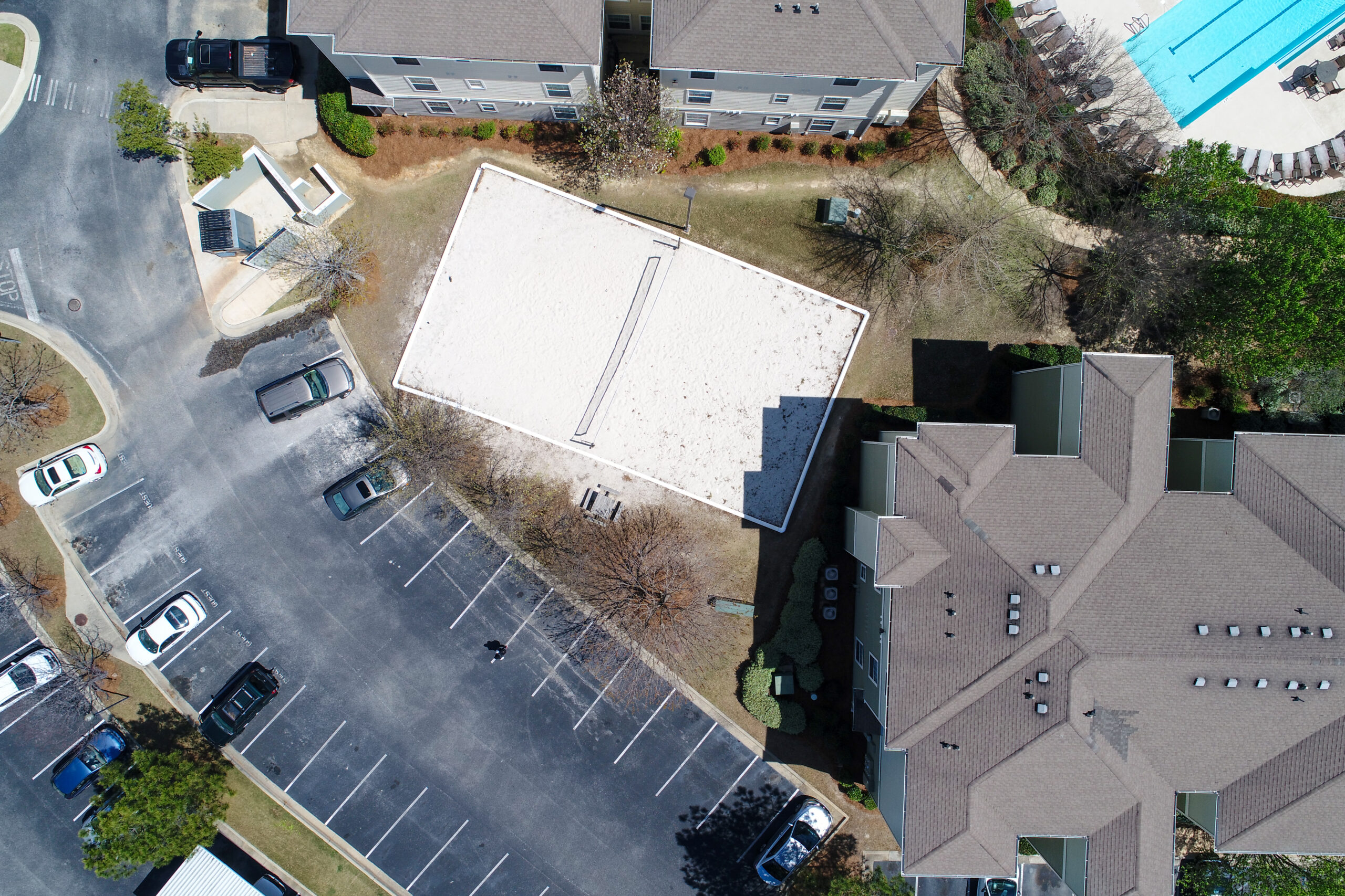
Bush Drone Data combines aerial imagery with powerful GIS technology to deliver advanced spatial analysis.
We provide:
Seamless GIS integration of drone data
Customized geospatial insights
Support for planning & project management
From urban development to environmental monitoring, our GIS solutions turn aerial data into strategic decisions.
Enhance your spatial data capabilities with Bush Drone Data’s GIS data solutions. We integrate high-resolution aerial datasets with specialized geographic information systems technologies to provide comprehensive spatial analysis and geographic insights.
By combining detailed aerial imagery with advanced GIS solutions, we provide streamlined geospatial data integration that supports effective planning and decision-making. Our GIS data solutions offer tailored insights for a variety of applications, ensuring robust data interpretation and strategic project management.
Office Hours
Contact Us
Have a question or a project in mind? We’re here to help. Call today or send an email to info@bushdronedata.com to discuss your surveying needs and learn how our drone-based solutions can support your project with precise, reliable geospatial data.