Our Story
Headquartered in Huntsville, Alabama, Bush Drone Data serves the Huntsville and North Alabama region with modern surveying and geospatial solutions. We combine licensed professional oversight with advanced drone and data technologies to deliver accurate, efficient results for engineering, development, and infrastructure projects.

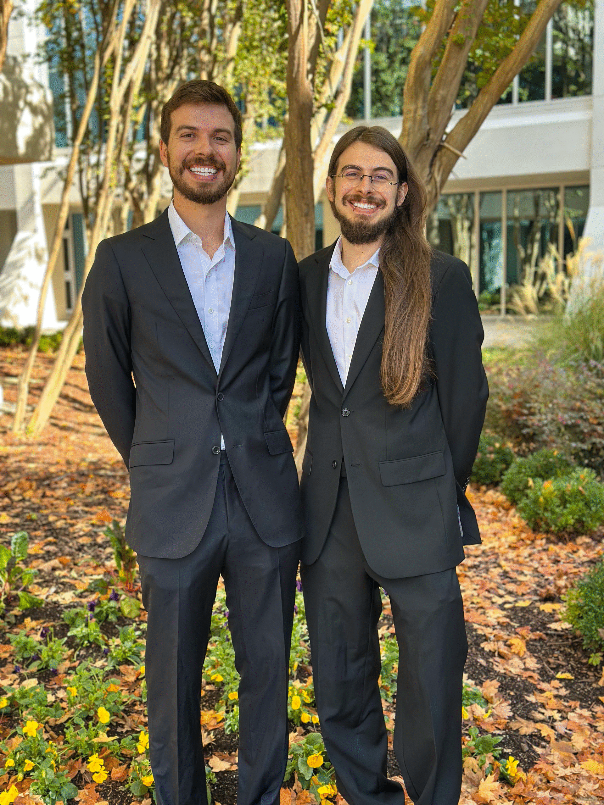
Founded by Huntsville native Austin Bush, the company is built on deep expertise in geospatial science and unmanned aircraft systems. Austin holds both a B.A. and M.A. in Geography and has taught GIS, cartography, and drone applications at Florida State University, with research and disaster response experience across the Southeast.

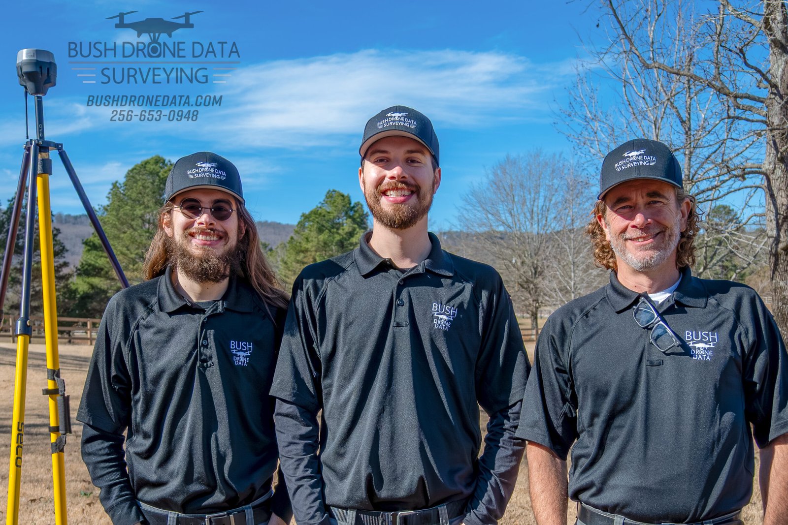
Our surveying services are led in partnership with Andrew Dinges, PLS, PE, a licensed Professional Surveyor and Engineer with over 30 years of experience in land surveying and civil engineering throughout North Alabama.

Dakota Bush, a Business Management graduate of the University of South Alabama, oversees operations and client coordination to ensure projects run smoothly from start to finish.
More than a drone company, Bush Drone Data is a local team dedicated to precision, professionalism, and personalized service. Let’s talk about how we can support your next project.
Our Story
Headquartered in Huntsville, Alabama, Bush Drone Data proudly serves the Huntsville Metropolitan and North Alabama region. We provide modern surveying and geospatial solutions by integrating licensed professional expertise with advanced drone and data technologies—delivering accurate, efficient, and cost-effective results for public and private sector projects.
Bush Drone Data was founded by Huntsville native Austin Bush, whose background bridges academic research and real-world application of geospatial science and unmanned aircraft systems. Austin earned both his B.A. and Master’s degree in Geography, specializing in terrestrial modeling and high-precision data collection using small drones. He went on to teach GIS, cartography, and drone applications in public safety at Florida State University, while also serving as a field researcher and instructor with the Disaster Incident Research Team. His work supported regional disaster response efforts through advanced drone operations and spatial analysis.
As the company evolved, Bush Drone Data expanded its focus to meet the growing demand for survey-grade data and licensed oversight in land development, infrastructure, and engineering projects. This expansion is anchored by our partnership with Andrew Dinges, PLS, PE, a licensed Professional Surveyor and Professional Engineer with over thirty years of experience across the Southeastern United States.
Andy began his surveying career in Huntsville in 1993 and has worked extensively on boundary, topographic, transportation, forestry, and utility surveys throughout the region. He holds a Bachelor of Science in Civil Engineering from the University of Alabama in Huntsville and is licensed as both a Professional Surveyor and Professional Engineer. Over his career, Andy has led and managed major residential, commercial, transportation, and public infrastructure projects, rising to Business Team Leader at Garver before founding Dinges Civil Engineering in 2025. Today, as a strategic partner with Bush Drone Data, Andy provides licensed oversight and technical leadership, ensuring that all surveying services meet the highest professional and regulatory standards.
Supporting this technical foundation is Dakota Bush, who leads business operations, client coordination, and strategic development for Bush Drone Data. Dakota is a graduate of the University of South Alabama in Mobile, where he earned his degree in Business Management. With a strong background in entrepreneurship, operations, and client-focused strategy, Dakota ensures that projects are executed efficiently, communicated clearly, and aligned with each client’s goals. His role bridges technical services and real-world application, helping clients navigate scope, scheduling, and deliverables with confidence.
Dakota is focused on building strong client relationships and maintaining a high standard of service across every engagement. He is closely involved in coordinating project timelines, deliverables, and internal workflows, helping ensure that work progresses efficiently from initial planning through final delivery. Dakota emphasizes transparency, responsiveness, and clear expectations throughout the project lifecycle, allowing clients to stay informed and confident at every stage. By prioritizing organization, accountability, and long-term partnerships, he helps support Bush Drone Data’s commitment to dependable service and professional excellence.
Together, Bush Drone Data represents the intersection of licensed surveying, advanced geospatial technology, and disciplined business execution. Our team of licensed professionals, geospatial specialists, and FAA-certified drone pilots brings a personal, local approach to every project. Based in the Rocket City—a hub of engineering and geospatial excellence—we are committed to precision, compliance, and clarity in every deliverable.
By choosing Bush Drone Data, you partner with professionals who understand both the local landscape and the regulatory standards that govern it. Unlike large, impersonal national providers, we offer a hands-on, client-focused approach tailored to your specific needs. We look forward to working with you to deliver accurate data, informed decisions, and results you can trust.