Contact Us
At Bush Drone Data, we deliver advanced aerial solutions that help you plan, visualize, and succeed. Whether you’re in real estate, construction, or environmental work, our FAA-certified pilots and cutting-edge drone tech bring clarity to your projects.
We tailor every mission to your needs, ensure full regulatory compliance, and deliver high-quality results—fast.
Fill out the form below or contact us to see how we can elevate your next project.
Email: info@bushdronedata.com
Phone: (256) 653-0948
Office: 600 Boulevard South SW, Suite 104, Huntsville, AL 35802
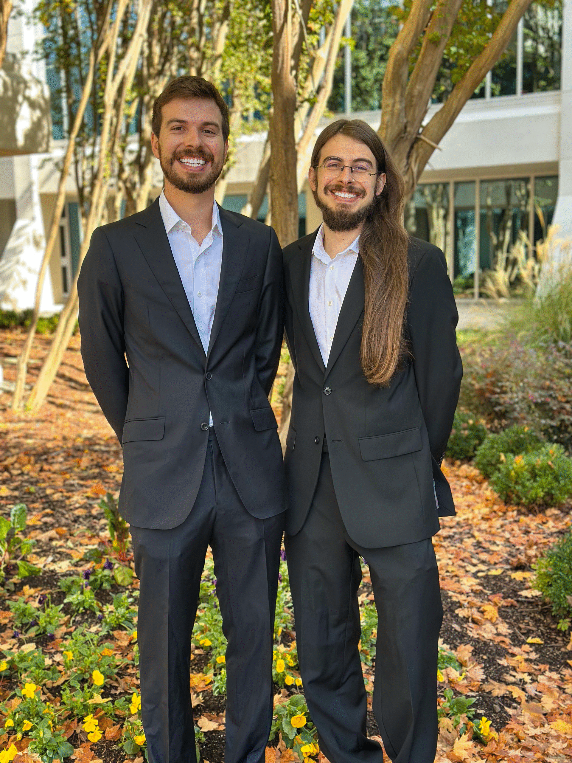
Connect With Our Team
At Bush Drone Data, we pride ourselves on providing innovative aerial data solutions that help clients visualize, plan, and succeed with precision and ease. Whether you’re in real estate, construction, environmental management, or infrastructure, our cutting-edge drone technology can transform how you approach your projects. We offer a full suite of services, including high-resolution aerial imagery, immersive videography, and detailed 3D mapping—all handled by our FAA-certified pilots.
Our commitment to excellence means we tailor our approach to fit the specific needs of every project, ensuring the highest quality results and timely delivery. From initial consultations to final project execution, we work closely with you to bring your vision to life, all while maintaining strict compliance with federal, state, and local regulations.
Reach out to us using the contact details below or the form provided. Whether you need a consultation, have specific project requirements, or simply want more information about how our aerial solutions can elevate your business, we are here to help. We look forward to discussing how Bush Drone Data can take your projects to new heights.
Contact Details:
- Email: info@bushdronedata.com
- Phone: (256) 653-0948
- Office Location: 600 Boulevard South SW, Suite 104, Huntsville, AL 35802
Contact Us
Have questions or need more information? Fill out the form below, and our team will get back to you as soon as possible. We’re here to help with any inquiries you may have about our services, pricing, or project details. We look forward to connecting with you!


